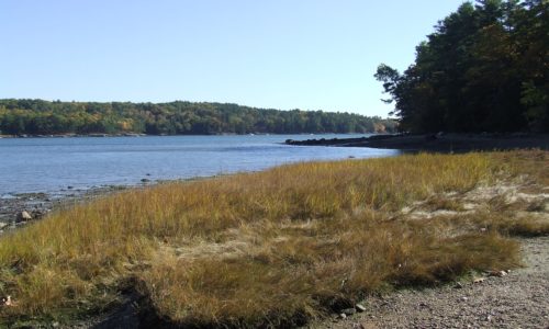
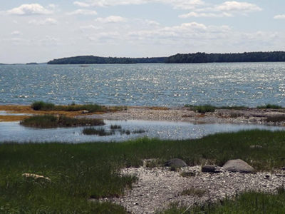
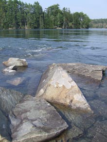
Commissary Point lies at the head of Whiting Bay, just across the water from Tide Mill Farm — a 1,500-acre property protected by an easement that the State purchased with a Land for Maine’s Future (LMF) program grant. Another LMF grant enabled the Maine Department of Inland Fisheries & Wildlife (IF&W) to acquire Commissary Point, and Read More
worming
Dodge Point
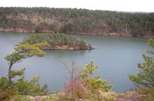
Dodge Point slopes gently down from a 240-foot height of land to the Damariscotta River, where the land drops off precipitously in places–offering views downriver that extend for miles. The property is rich in ecological and historical values as well as scenic beauty. The 508-acre peninsula has old growth trees, several important plant communities, Native Read More
Long Reach Preserve
Funding from the Land for Maine’s Future program enabled Harpswell Heritage Land Trust (HHLT) to purchase 95 acres adjoining a town-owned recreational field and a previously protected 217-acre property. Long Reach consists of upland forests, the southern freshwater end of the largest, mostly salt, marsh in Harpswell, as well as fresh water wetlands and bogs. This Read More
Lower Kennebec River Estuary
The Lower Kennebec River Estuary (including Merrymeeting Bay) is the largest tidal estuary on the Eastern Seaboard north of Chesapeake Bay. The lower reaches of this large embayment have extensive salt marsh, a rare habitat in Maine that offers valuable foraging, nesting, and wintering habitat for thousands of wading birds, shorebirds and migrating waterfowl. Boaters Read More
Morong Cove
Cobscook Bay, with its 18-foot tides and sub-arctic water temperatures, provides a uniquely productive marine ecosystem that lures a diverse array of wildlife. The three inner bays – Dennys, Whiting, and Straight – hold the greatest importance for wildlife and have been the focus for extensive conservation work in recent years. The Land for Maine’s Read More
Skolfield Shores Preserve
At the town line between Brunswick and Harpswell on Route 123, a panoramic view opens out on both sides of the roadway, with historic farm structures flanked by wide fields leading down to tidal marshes and open water. These lands lie in the narrow isthmus at the top of Harpswell Neck, situated on a historic Read More
Tidal Falls
Eight miles east of Ellsworth, Route One crosses a river that divides Taunton and Frenchman Bays. This is the site of Tidal Falls (or Sullivan Falls), the region’s most dramatic reversing falls. Here, the fast-moving Taunton River attracts osprey, blue herons, Bald Eagles, and seals, as well as many human visitors drawn to the rush Read More
Woodward Point Preserve
Woodward Point Preserve is located in Eastern Brunswick and is made up of soft sand, which becomes a walkable mudflat when the tide goes out. Recently, softshell clams have been showing up in the cove, to the surprise of many, as clam populations are down around the state due to the introduction of the invasive Read More


