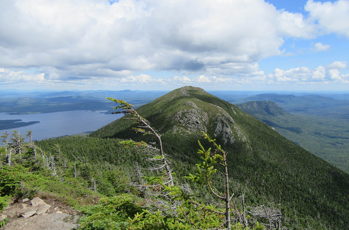
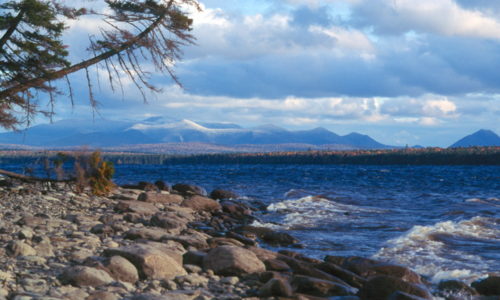
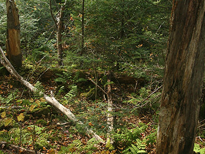
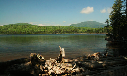
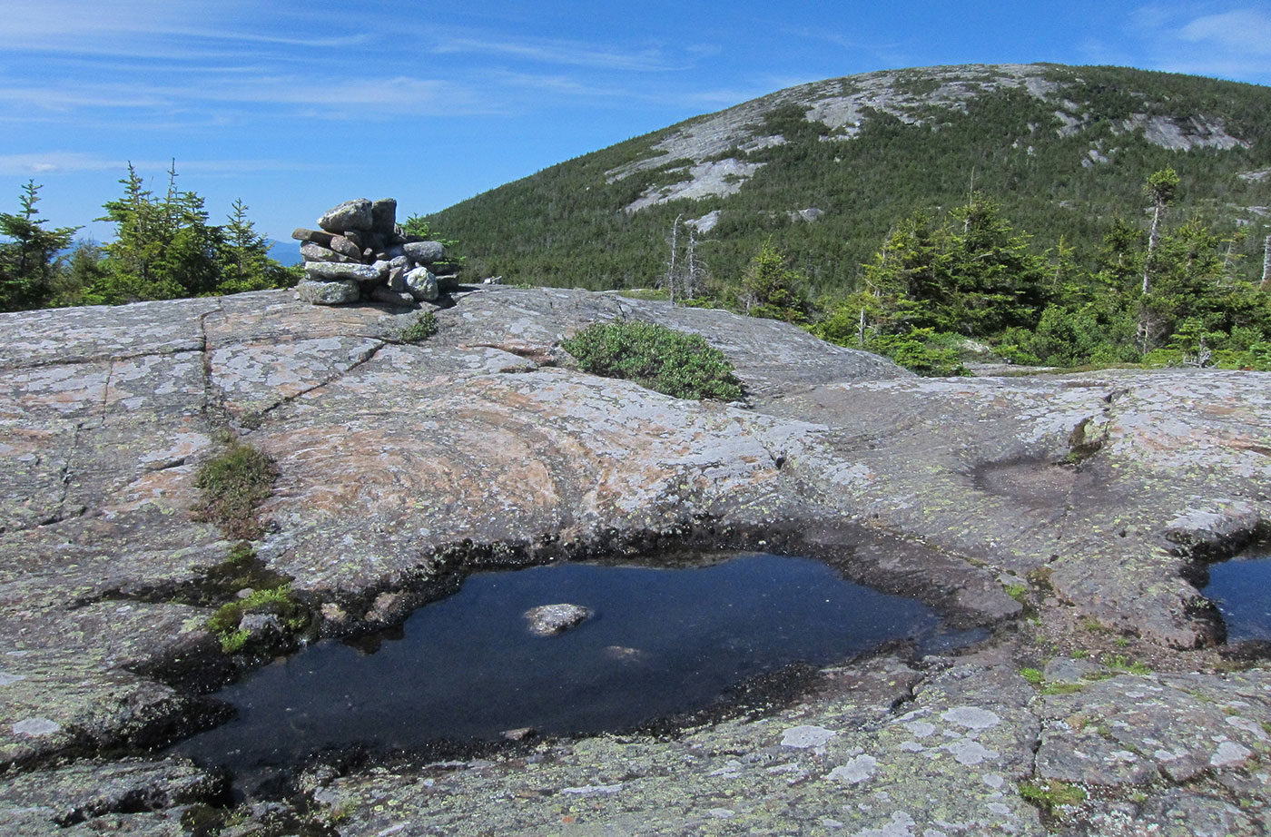
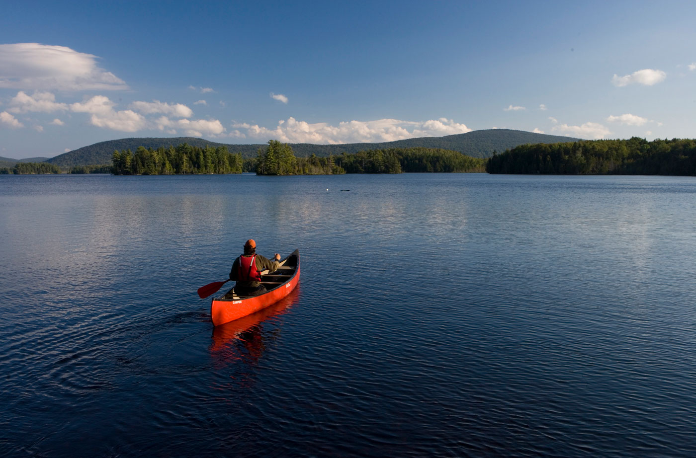
Location: Near Stratton, Franklin County Description: The Bigelow Preserve, the area of which totals 36,000 acres, is bounded on its north by Flagstaff Lake, a 20,000-acre lake, and includes all seven summits of the Bigelow Range, including 4,150-foot West Peak. The Appalachian Trail crosses through part of the Bigelow Preserve. Flagstaff Lake is also part of the Northern Read More
snowmobiling
Bradley Public Reserved Land
Location: Bradley, Penobscot County Description: The Bradley unit is comprised of four connecting lots totaling 9,277 acres and a separate 229-acre parcel known as the “Kittridge Farm” lot. The unit contains largely wetlands and peatlands, which are home to species of special concern: northern leopard frog, creeper mussel, and sedge wren. Recreational use of the Read More
Chamberlain Lake Public Reserved Land/Lock Dam
Location: In and around Township 7, Range 12 WELS, 30 miles northwest of Baxter State Park, Piscataquis County Description: Chamberlain Lake Public Reserved Land is a group of parcels along the large lakes that form the southern end of the Allagash Wilderness Waterway. The parcels include the 2,890-acre Chamberlain Lake Ecological Reserve. Ecological Reserves serve to protect Read More
Duck Lake Public Reserved Land
Location: Just south of Lakeville, northern Hancock County Description: The Duck Lake unit is comprised of more than 27,000 acres, just to the east of Grand Lake Stream. The unit contains Duck Lake and Gassahias Lake, which offer fishing, boating, swimming, camping, and snowmobiling opportunities. An Ecological Reserve has been established on the eastern portion of the unit Read More
Eagle Lake Public Reserved Land
Location: Township 16, Range 6 WELS, next to the town of Eagle Lake, about 15 miles south of Fort Kent, Aroostook County Description: The Eagle Lake Public Reserved Land unit spans 24,083 acres on the eastern half of Eagle Lake, an expansive body of water that is enjoyed by pleasure boaters, anglers, and campers. The Read More
Four Ponds Public Reserved Land
Location: South of Rangeley, Franklin County Description: The Four Ponds Public Reserved Land unit is 6,000 acres in size and located east of Mooselookmeguntic Lake. The unit is popular for swimming, fishing, canoeing, and kayaking. Part of the Appalachian Trail cuts through, and there are campgrounds at Little Swift River Pond and Sabbath Day Pond. Snowmobilers Read More
Little Moose Public Reserved Land
Location: Moosehead Junction and Big Moose townships, just east of Greenville, Piscataquis County Description: The Little Moose unit is more than 15,000 acres in size and is a popular hiking destination. The area includes most of the Little Moose Mountain Range, which features steep slopes, rocky streams, and remote ponds. The Eagle Rock Trail is Read More
Mahoosuc Public Reserved Land
Location: West of Newry, Oxford County Description: The Mahoosuc Public Reserved Land unit includes the entire Mahoosuc Range, which features some of Maine’s most challenging and beautiful mountains, including the 4,180-foot Old Speck. A receding glacier 12,000 years ago created the Mahoosuc Range and what is commonly known to be 12 of the most difficult miles of Read More
Moosehead Lake Public Reserved Land
Location: North of Greenville, Piscataquis County Description: Moosehead is Maine and New England’s largest lake. Moosehead was formed by a mile-thick receding glacier almost 18,000 years ago. Wabanaki Native Americans have lived in the region for the past 1,000 years and place great spiritual significance in Mount Kineo, on one of the lake’s islands. Named Read More


