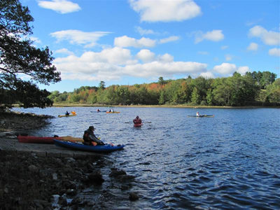
Clary Lake is a popular destination for boaters and anglers. With funds from the Land for Maine’s Future program and the U.S. Fish and Wildlife Service’s Sport Fish Restoration Program, the Maine Department of Inland Fisheries & Wildlife (IF&W) secured funds to acquire a site that provides permanent and safe access for motor boats and Read More
public lands
Cold Rain Pond
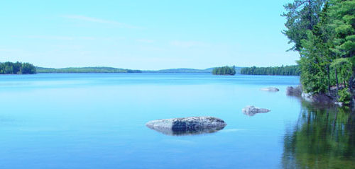
The good water quality of Cold Rain Pond, near Sebago Lake, supports a thriving cold-water fishery. Lying in an increasingly populous area, this water body is remarkably undeveloped. Only one camp fronts on this “great pond” and a conservation easement held by Loon Echo Land Trust protects most of that private property from further development. No Read More
Commissary Point
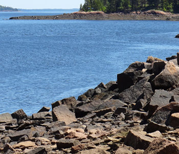
Commissary Point lies at the head of Whiting Bay, just across the water from Tide Mill Farm — a 1,500-acre property protected by an easement that the State purchased with a Land for Maine’s Future (LMF) program grant. Another LMF grant enabled the Maine Department of Inland Fisheries & Wildlife (IF&W) to acquire Commissary Point, and Read More
Crooked Farm
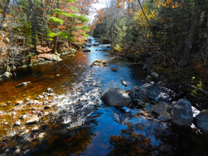
Crooked Farm, lying in a secluded setting along the Pemaquid River, supports an unusual diversity of plants and animals due to varied habitats–from wetlands, fields and forests to high knolls and ravines. Along its 1.27 miles of river frontage, both warm and cold water species of game fish spawn. The wetlands and uplands offer an Read More
Cutler Coast
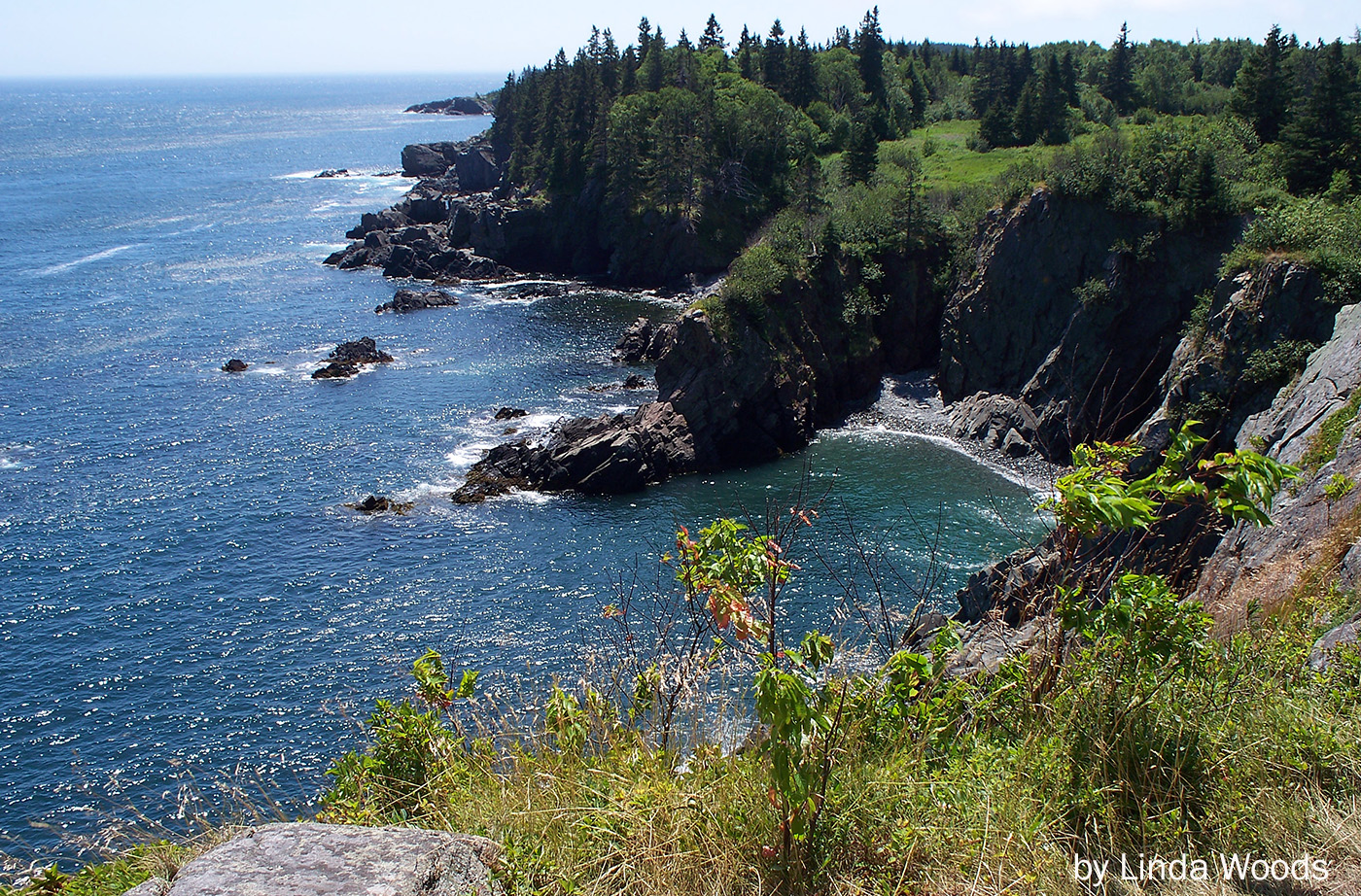
When this 2,100-acre stretch of Maine’s Bold Coast went on the market in 1989, conservation groups moved quickly to ensure its protection. Maine Coast Heritage Trust and The Conservation Fund coordinated purchase of the Cutler Coast property and an additional 8,900 acres of woodland and grasslands in the towns of Cutler and Whiting. From them, Read More
Devil’s Head — St. Croix International Waterway
The City of Calais and the St. Croix International Waterway Commission were able to conserve the highest headland in Downeast Maine, Devil’s Head, with significant help from the Land for Maine’s Future program, the Maine Coastal Program, Maine Department of Conservation, Maine Outdoor Heritage Fund and others. Devil’s Head, which towers 340 vertical feet above the St. Read More
Ducktrap Preserve
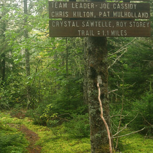
The Land for Maine’s Future (LMF) program has helped an ambitious effort to protect all the lands bordering the Ducktrap River, buffering critical salmon spawning and rearing habitat in one of the last eight rivers in Maine with runs of native Atlantic salmon. This land protection project has met with remarkable success, thanks to the Read More
Egypt Bay
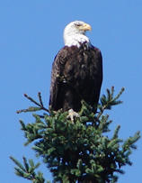
As part of a Land for Maine’s Future project, nearly a mile of shorefront along Egypt/Taunton Bays as well as the title to two small islands, aptly known as the Little Islands, was transferred to the State of Maine. The shoreline tract has historically been used by Bald Eagles for nesting, and lies in the Read More
Farm Cove Community Forest
The Farm Cove Community Forest now includes the 27,080 acres acquired through the Downeast Lakes Forestry Partnership, and the 6,628 acre Wabassus Lake Tract, for a total of 33,708 acres. View a map of the Farm Cove Community Forest on the Downeast Lakes Land Trust website. This brief description will focus on the effort to Read More