Anglers have long enjoyed access to Patrick Lake, a 275-acre water body north of Machias that supports brown trout, chain pickerel, and white perch. They reached the lake via a boat launching ramp that many people assumed was publicly held but was in fact private. The landowner decided to sell the site as part of Read More
Paddling, Kayaking, and Canoeing
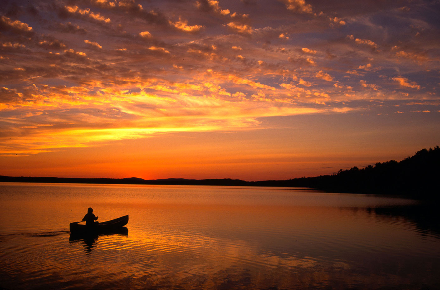
Maine has miles of rivers, thousands of lakes and ponds, and a vast coastline to explore. Grab your kayak or canoe and spend time at any of these locations, paddling around and enjoying Maine’s beautiful outdoors.
Pettegrow Beach
Residents of Machiasport have long considered Pettegrow Beach, a cobble beach on Buck’s Harbor, to be a community resource. The gently sloping beach is ideal for launching small boats, serving the needs of commercial fishermen, anglers, fish farmers, clammers, and recreational boaters. It is the only beach in the area that has sufficiently deep water Read More
Bigelow Preserve Public Reserved Land
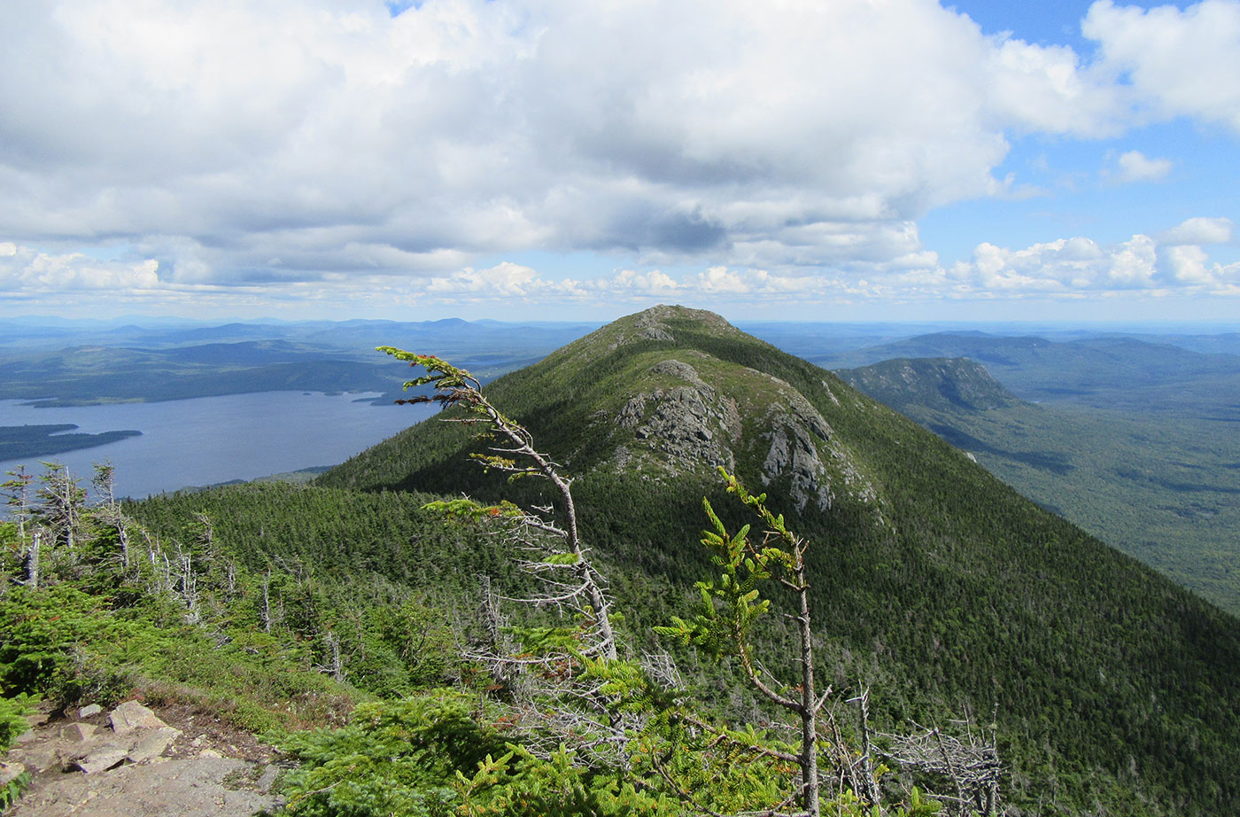
Location: Near Stratton, Franklin County Description: The Bigelow Preserve, the area of which totals 36,000 acres, is bounded on its north by Flagstaff Lake, a 20,000-acre lake, and includes all seven summits of the Bigelow Range, including 4,150-foot West Peak. The Appalachian Trail crosses through part of the Bigelow Preserve. Flagstaff Lake is also part of the Northern Read More
Chain of Ponds Public Reserved Land
Location: Ten miles northeast of Eustis, Franklin County Description: The Chain of Ponds Public Reserved Land parcel is comprised of four ponds. Natanis, Bog, Long, and Lower ponds are all connected via channels, creating the “chain.” Visitors to the ponds have the opportunity to recreate on the ponds, including camping on the shores and observing Read More
Chamberlain Lake Public Reserved Land/Lock Dam
Location: In and around Township 7, Range 12 WELS, 30 miles northwest of Baxter State Park, Piscataquis County Description: Chamberlain Lake Public Reserved Land is a group of parcels along the large lakes that form the southern end of the Allagash Wilderness Waterway. The parcels include the 2,890-acre Chamberlain Lake Ecological Reserve. Ecological Reserves serve to protect Read More
Dead River Public Reserved Land
Location: In and around Dead River Township, on the northern shore of Flagstaff Lake, Somerset County Description: The Dead River Public Reserved Land parcel is located on the northern shores of Flagstaff Lake. The parcel contains a popular fishing and camping spot called The Big Eddy below Long Falls Dam, as well as a number Read More
Donnell Pond Public Reserved Land
Location: In and around Township 10 SD, 12 miles east of Ellsworth, Hancock County Description: The Donnell Pond Public Reserved Land unit includes mountains, pristine lakes, and remote ponds all spread out over 14,000 acres in eastern Maine. There are sites for camping along the pond’s beaches, and great options for those who enjoy paddling. Read More
Gero Island Public Reserved Land
Location: Chesuncook Township, Piscataquis County Description: The Gero Island Public Reserved Land unit is comprised of the majority of Gero Island in Chesuncook Lake, as well as most of the historic Chesuncook Village on the mainland, southwest of the island. Chesuncook Village was settled in 1849 by Ansel A. Smith as a logging outfit. The water access Read More
Great Heath Public Reserved Land
Location: In Township 18 MD, north of Cherryfield, Washington County Description: The Great Heath is one of the largest peatland systems in Maine. The entirety of the state-owned portion of the Great Heath was designated as an Ecological Reserve in 2001 to protect Maine’s biological diversity, among other purposes. It is an excellent example of a domed Read More


