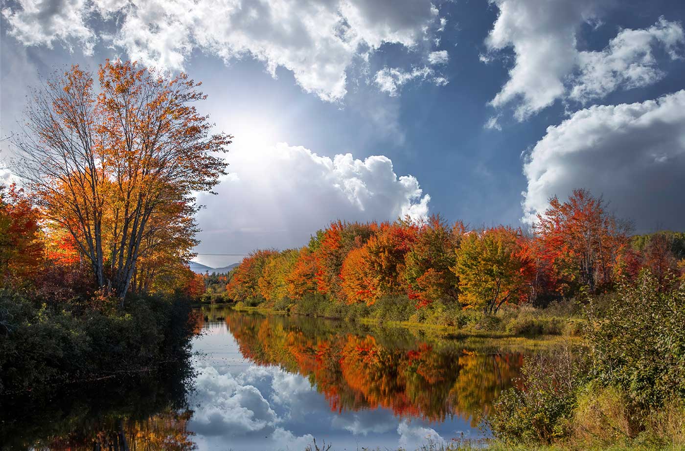
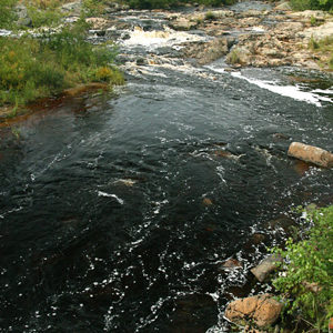
As part of a complex multi-property purchase, the Land for Maine’s Future program funded State acquisition of 4,119 acres of woodland, wetlands, and cedar swamp along the Mattawamkeag River east of Kingman and 1,204 acres along 4 miles of its tributary, Mattagodus Stream. The highly productive wetlands that characterize both properties offer outstanding habitat for Read More
Paddling, Kayaking, and Canoeing
Maine has miles of rivers, thousands of lakes and ponds, and a vast coastline to explore. Grab your kayak or canoe and spend time at any of these locations, paddling around and enjoying Maine’s beautiful outdoors.
Mill Pond Park
Like many island communities in Maine, Swans Island has experienced a steady loss in public shore access in recent years. New development and changes in ownership have closed off lands by which community members once reached the water. When an opportunity arose to secure a waterfront park site, town residents acted quickly to acquire the Read More
Moran’s Landing at Bear River Rips
Bear River Rips lies at the confluence of the Bear and Androscoggin rivers, tucked between mountains just north of Bethel. A popular site among anglers and canoeists, the Rips are easily accessed from a small parcel of land that borders both the Androscoggin and Route 2. Like many such traditional access points across private land, Read More
Morong Cove
Cobscook Bay, with its 18-foot tides and sub-arctic water temperatures, provides a uniquely productive marine ecosystem that lures a diverse array of wildlife. The three inner bays – Dennys, Whiting, and Straight – hold the greatest importance for wildlife and have been the focus for extensive conservation work in recent years. The Land for Maine’s Read More
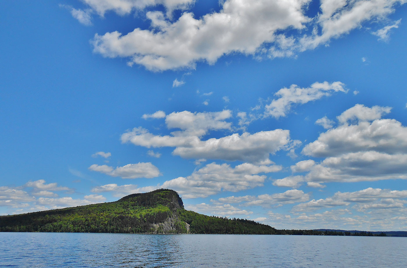
Mount Kineo
Mount Kineo, with 700-foot cliffs rising straight up from Moosehead Lake, is an unforgettable setting that has lured people for centuries. Indigenous peoples once traveled great distances to Mt. Kineo, relying on its flint-like rhyolite to make stone tools. In recent centuries, Kineo’s spectacular scenery and the amenities of Moosehead Lake drew “rusticators” and summer Read More
Nahmakanta Public Reserve
Nahmakanta, the State’s largest Public Reserve at more that 43,000 acres, offers backcountry visitors a roadless forest of more than 8,000 acres, a 12-mile stretch of the Appalachian Trail, lakeside and remote campsites, and 24 lakes and ponds with more than 50 miles of combined shore frontage. In 1990, the Land for Maine’s Future program Read More
Narraguagus River—Little Falls
Straddling a half-mile along the Narraguagus River, the 221 acres surrounding Little Falls supports some of the highest densities of juvenile Atlantic salmon found in the river’s lower reaches. The Narraguagus still supports a run of native Atlantic salmon, and is one of eight rivers where the species is federally listed as endangered. With support Read More
Nicatous and West Lakes
By combining conservation easements on working timberland with public land acquisition, the State protected 22,370 acres of contiguous forest with 30 miles of undeveloped shoreline on two lakes and five ponds. The centerpiece of this property is 5,100-acre Nicatous Lake, widely considered to be one of Maine’s most beautiful water bodies with its pristine sand Read More
Orbeton Stream
Located in the towns of Madrid and Phillips, the Orbeton Stream Project secured a conservation easement in December 2015 on nearly 6,000 acres surrounding Orbeton Stream. The easement ensures sustainable forest management and allows public access for hiking, fishing, paddling, and hunting. The Orbeton Stream Project follows a portion of the Appalachian Trail (AT). The Read More


