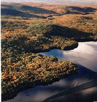
From the highest points in the Kennebec Highlands, a 6,400-acre expanse of wooded hills and wetlands just north of Augusta, one can see to the White Mountains, Mt. Katahdin, and the Camden Hills. Foreground views encompass the Belgrade Lakes and vast stretches of contiguous forest land – broken only by an occasional blueberry field, marsh, Read More
Paddling, Kayaking, and Canoeing
Maine has miles of rivers, thousands of lakes and ponds, and a vast coastline to explore. Grab your kayak or canoe and spend time at any of these locations, paddling around and enjoying Maine’s beautiful outdoors.
Kennebec Highlands — Kimball Pond
The 7 Lakes Alliance acquired a 278-acre property around Kimball Pond in Vienna. The property includes Kimball Pond’s headwaters (including areas prone to erosion), a tributary stream, and wetlands area. Kimball Pond is home to a popular fishing spot for brook trout. The Kimball Pond area is also home to sustainably harvested forestland. The goal Read More
Kennebec River Access
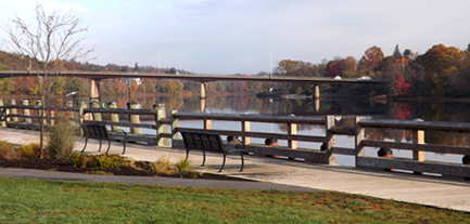
The City of Gardiner acquired land by the mouth of Cobbosseecontee Stream in its historic district that doubles the amount of publicly accessible river frontage in the 10 surrounding towns that border the Kennebec. This 2-acre parcel triples the size of Gardiner’s waterfront park by linking the heavily used boat launch with another State-owned parcel, Read More
Lake George Regional Park
In periodic surveys of recreational resources throughout Maine, the Department of Conservation (DOC) repeatedly identified a deficiency in west-central Maine where residents clearly needed more resources for water-based recreation. Seeking to fill this need, the Department searched for12 years before an ideal property came on the market–a former summer camp at the southern end of Read More
Lambert Lake
Lambert Lake, tucked amidst mountains near the New Brunswick border, is an attractive and largely undeveloped Great Pond. The steep wooded shores along this 605-acre water body are broken only by a few rustic camps, mostly concentrated at the southern end. Boaters and fishermen have traditionally enjoyed this scenic setting, rich in brook trout and Read More
Little Ossipee River
A grant from the Land for Maine’s Future program secured a mile of undeveloped land along the Little Ossipee River, considered by some to be southern Maine’s “little Allagash.” The protected land is now owned by the Maine Department of Inland Fisheries & Wildlife. The 300 acres of riverfront abuts The Nature Conservancy’s 2,140-acre Waterboro Read More
Machias River Project
The Machias River ranks with the St. John, the Allagash, and the Penobscot as one of Maine’s most scenic and outstanding paddling rivers. Over the course of 76 miles, canoeists enjoy an array of water courses–from lakes and swamps to rapids and a waterfall. The river is rich in brook trout, bass, and pickerel, and each spring Read More
Marshall Island
With generous support from the Land for Maine’s Future program and private donors, Maine Coast Heritage Trust (MCHT) acquired all of Marshall Island, which was the largest remaining undeveloped and unprotected island on the nation’s Eastern Seaboard. Marshall is located in Jericho Bay, between Mount Desert Island and Isle au Haut. With 981 acres of Read More
Mattawamkeag Lake
With funding support from the Land for Maine’s Future program, the Maine Bureau of Parks and Lands acquired an easement and two fee parcels protecting 3,026 acres around the southern end of Mattawamkeag Lake. The easement allows sustainable forestry while preventing future development and guaranteeing continued pedestrian access for fishing, swimming, and camping. The protected Read More


