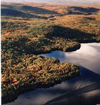
From the highest points in the Kennebec Highlands, a 6,400-acre expanse of wooded hills and wetlands just north of Augusta, one can see to the White Mountains, Mt. Katahdin, and the Camden Hills. Foreground views encompass the Belgrade Lakes and vast stretches of contiguous forest land – broken only by an occasional blueberry field, marsh, Read More
hunting
Kennebec Highlands — Kimball Pond
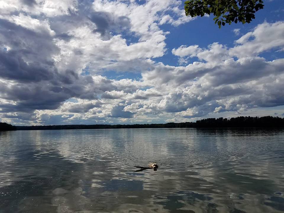
The 7 Lakes Alliance acquired a 278-acre property around Kimball Pond in Vienna. The property includes Kimball Pond’s headwaters (including areas prone to erosion), a tributary stream, and wetlands area. Kimball Pond is home to a popular fishing spot for brook trout. The Kimball Pond area is also home to sustainably harvested forestland. The goal Read More
Leavitt Plantation Forest
The fate of an 8,600-acre forest, which has supported generations of local families, came into question in 2000 when the land was slated for auction into more than a dozen parcels. Leavitt Plantation Forest in Parsonsfield represents York County’s largest contiguous block of sustainably managed forest in single ownership, and provides high-value forest products that Read More
Little Ossipee River
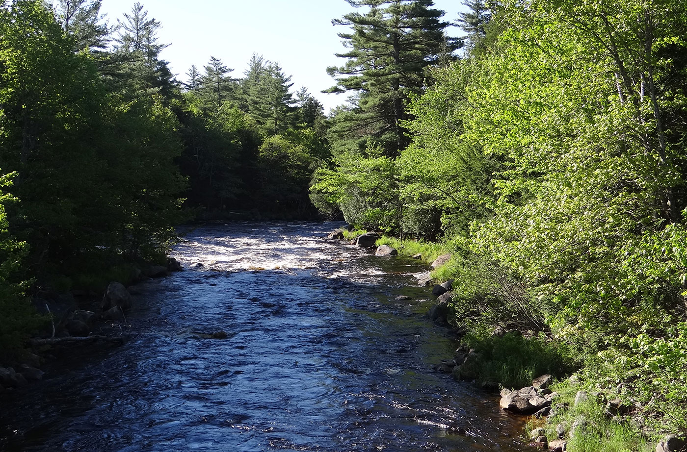
A grant from the Land for Maine’s Future program secured a mile of undeveloped land along the Little Ossipee River, considered by some to be southern Maine’s “little Allagash.” The protected land is now owned by the Maine Department of Inland Fisheries & Wildlife. The 300 acres of riverfront abuts The Nature Conservancy’s 2,140-acre Waterboro Read More
Long Reach Preserve
Funding from the Land for Maine’s Future program enabled Harpswell Heritage Land Trust (HHLT) to purchase 95 acres adjoining a town-owned recreational field and a previously protected 217-acre property. Long Reach consists of upland forests, the southern freshwater end of the largest, mostly salt, marsh in Harpswell, as well as fresh water wetlands and bogs. This Read More
Lower Kennebec River Estuary
The Lower Kennebec River Estuary (including Merrymeeting Bay) is the largest tidal estuary on the Eastern Seaboard north of Chesapeake Bay. The lower reaches of this large embayment have extensive salt marsh, a rare habitat in Maine that offers valuable foraging, nesting, and wintering habitat for thousands of wading birds, shorebirds and migrating waterfowl. Boaters Read More
Machias River Project
The Machias River ranks with the St. John, the Allagash, and the Penobscot as one of Maine’s most scenic and outstanding paddling rivers. Over the course of 76 miles, canoeists enjoy an array of water courses–from lakes and swamps to rapids and a waterfall. The river is rich in brook trout, bass, and pickerel, and each spring Read More
Marshall Island
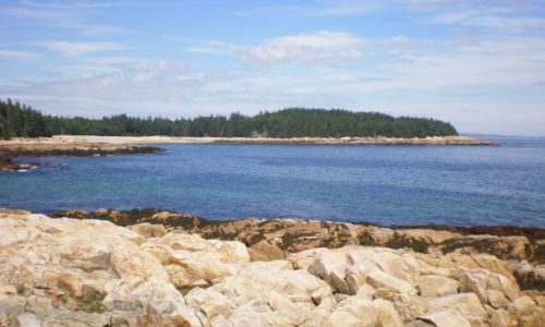
With generous support from the Land for Maine’s Future program and private donors, Maine Coast Heritage Trust (MCHT) acquired all of Marshall Island, which was the largest remaining undeveloped and unprotected island on the nation’s Eastern Seaboard. Marshall is located in Jericho Bay, between Mount Desert Island and Isle au Haut. With 981 acres of Read More
Mattawamkeag Lake
With funding support from the Land for Maine’s Future program, the Maine Bureau of Parks and Lands acquired an easement and two fee parcels protecting 3,026 acres around the southern end of Mattawamkeag Lake. The easement allows sustainable forestry while preventing future development and guaranteeing continued pedestrian access for fishing, swimming, and camping. The protected Read More


