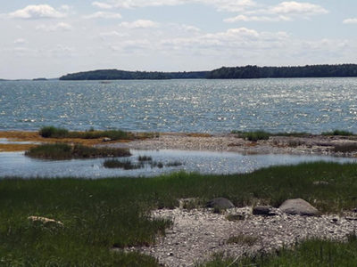
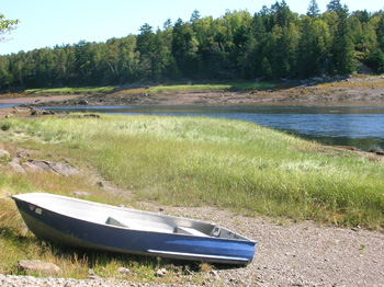
At the town line between Brunswick and Harpswell on Route 123, a panoramic view opens out on both sides of the roadway, with historic farm structures flanked by wide fields leading down to tidal marshes and open water. These lands lie in the narrow isthmus at the top of Harpswell Neck, situated on a historic Read More
hunting
Spednic Lake/Upper St. Croix River — St. Croix International Waterway
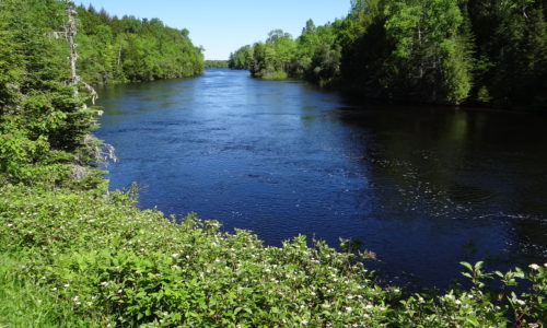
Since 1992, the Land for Maine’s Future (LMF) program has funded five projects along Spednic Lake and the upper St. Croix River, working with the Province of New Brunswick to preserve an exceptional, undeveloped corridor along the U.S.-Canada border. he LMF projects have protected more than 4,100 acres of land and 72 miles of shoreline Read More
Sprague Pond
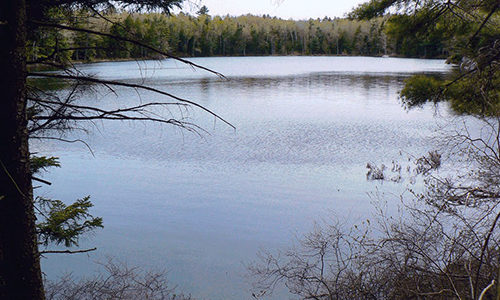
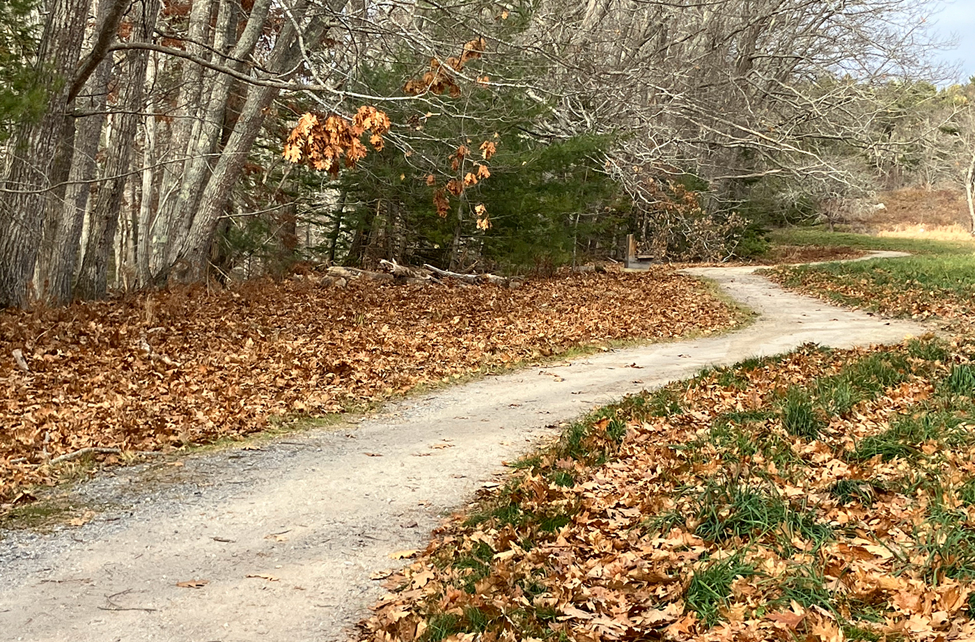
Sprague Pond, which lies near the main road (Route 209) through Phippsburg, is a spring-fed pond nestled amidst stately oaks, pines, and spruces. Well-worn trails through the woods attest to the pond’s popularity among local residents who come seeking a quiet haven for walking and swimming. The shores of this tranquil pond are completely undeveloped Read More
Thorne Head
Residents of Bath, one of Maine’s most densely populated communities, are now within walking distance of a 96-acre preserve with dramatic 100-foot cliffs, spectacular water views in three directions, and a half-a-mile of shore frontage on the Kennebec River. Thorne Head provides much-needed open space in a region that has traditionally scored low in statewide Read More
Tide Mill Farm
The easement held by the Maine Department of Inland Fisheries & Wildlife protects Tide Mill Farm’s significant ecological values and ensures that the public will have access to portions of the property that do not intrude on the farmstead. Hikers can enjoy more than 2.5 miles of trails up Bell’s and Crane Mountains, with outcrops Read More
Tinker Island
Tinker Island, a prominent 430-acre landmark in Blue Hill Bay, has long been a popular destination for picnicking, beachcombing, camping, and hunting. Area residents grew concerned when both halves of the island were placed on the open market for a combined price of $3.5 million. The southern half, which had an approved 10-lot subdivision in Read More
West Branch of the Penobscot River
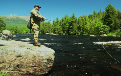
The productive forestlands that extend from Moosehead Lake to the headwaters of the St. John River lie at the heart of Maine’s North Woods. This region bordering the legendary West Branch of the Penobscot River is rich in history, folklore, and tradition, and remains a vital resource today – providing timber that fuels the regional Read More
Woodward Point Preserve
Woodward Point Preserve is located in Eastern Brunswick and is made up of soft sand, which becomes a walkable mudflat when the tide goes out. Recently, softshell clams have been showing up in the cove, to the surprise of many, as clam populations are down around the state due to the introduction of the invasive Read More


