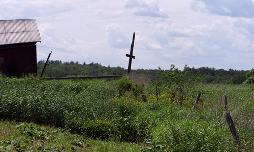
Lying a half-mile from Merrymeeting Bay, one of the Eastern seaboard’s largest and most productive estuaries, the open fields of this working dairy farm are a popular stopover for Canada Geese and other migratory waterfowl. Grants from the Land for Maine’s Future program and the USDA Farm and Ranch Land Protection Program enabled the Maine Read More
Hiking
We are fortunate that Maine has hundreds of miles of trails to explore. These locations are great for all levels of hiking—from winding trails along Maine's coast to high mountain peaks in western Maine and beyond. Always check the weather before heading out, and let a friend or family member know where you are headed if you are hiking alone. Don't forget to check in when you return. Enjoy your time exploring Maine's public lands!
Orbeton Stream
Located in the towns of Madrid and Phillips, the Orbeton Stream Project secured a conservation easement in December 2015 on nearly 6,000 acres surrounding Orbeton Stream. The easement ensures sustainable forest management and allows public access for hiking, fishing, paddling, and hunting. The Orbeton Stream Project follows a portion of the Appalachian Trail (AT). The Read More
Parker Pond Headland
Parker Pond is a scenic and relatively undeveloped lake situated in Fayette, a growing community 18 miles northwest of Augusta. The town has experienced a population increase of 217 percent over the past four decades as more people have discovered its natural amenities. Despite the surrounding development, though, the shores of 1,600-acre Parker Pond have Read More
Pleasant Bay Wildlife Management Area
The Pleasant Bay Wildlife Management Area lies near the town of Addison along the Pleasant River’s east side. The area is known for its expansive, various wildlife habitats and for its tranquil character. The preserve includes more than seven miles of waterfront along Pleasant Bay, more than 1,900 acres of intertidal marshes and mudflats, islands, Read More
Bald Mountain Public Reserved Land
Location: Just east of Rangeley, Franklin County Description: The Bald Mountain Public Reserved Land is a haven for outdoor enthusiasts during all four seasons. Hike the trail to the summit of Bald Mountain, particularly beautiful during the fall months, and enjoy the views of the surrounding lakes. In the summer, fishermen take to the unit’s Read More
Big Spencer Mountain Public Reserved Land
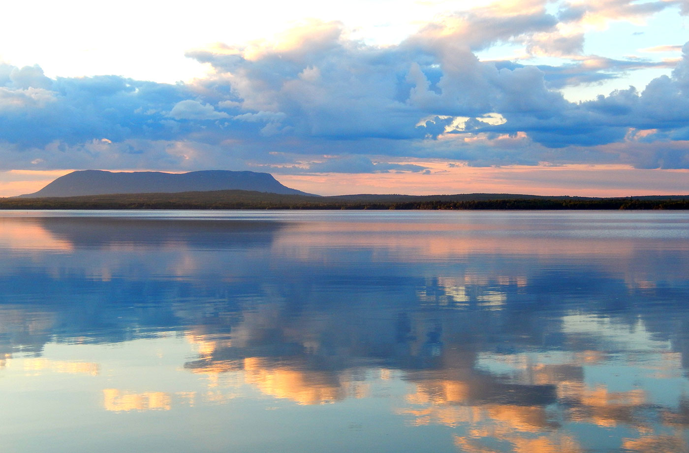
Location: Township X Range 14 WELS and Township 2 Range 13 WELS, east of Moosehead Lake, Piscataquis County Description: The Big Spencer Mountain parcel contains Big Spencer Mountain (3,230 feet), which towers over Spencer Bay on Moosehead Lake’s eastern shore. The mountain’s fire tower was active for nearly 85 years, until 1991. The 4,242-acre parcel is part Read More
Bigelow Preserve Public Reserved Land
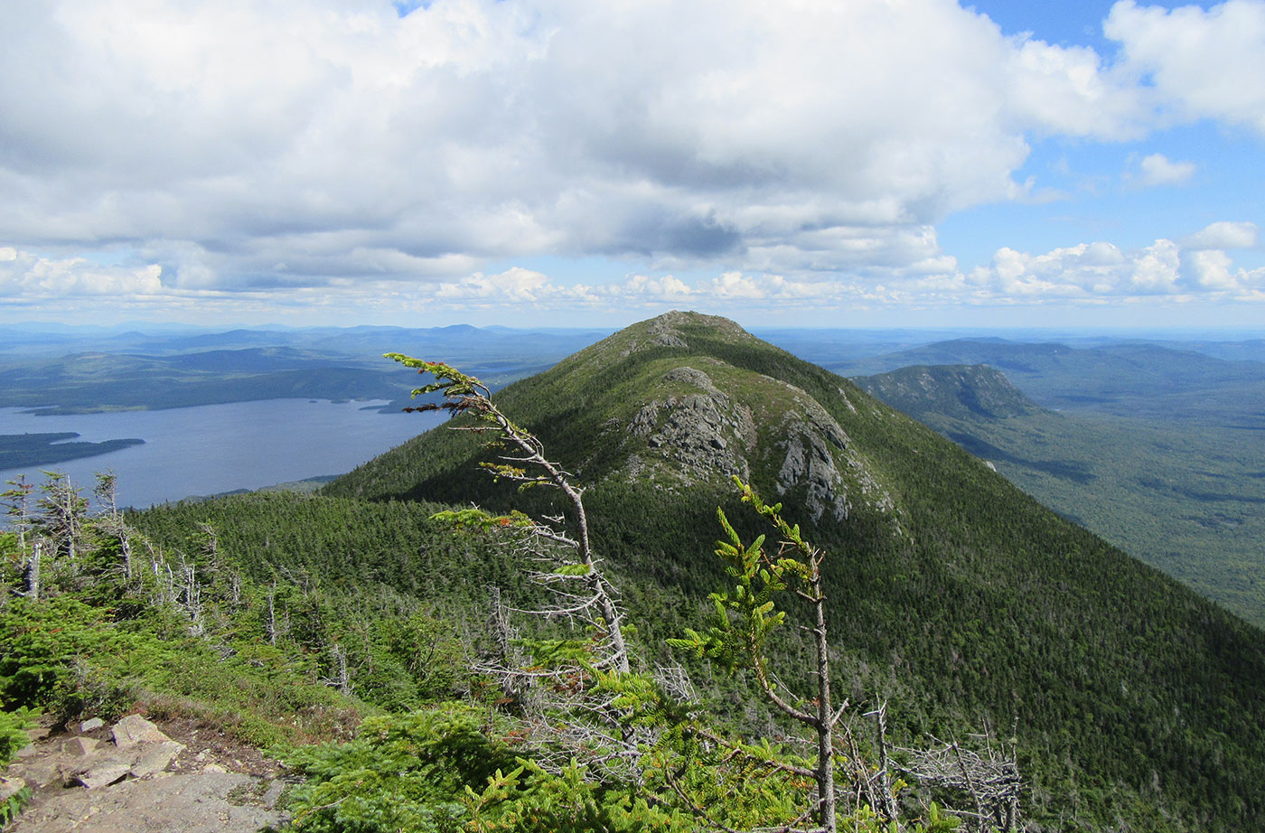
Location: Near Stratton, Franklin County Description: The Bigelow Preserve, the area of which totals 36,000 acres, is bounded on its north by Flagstaff Lake, a 20,000-acre lake, and includes all seven summits of the Bigelow Range, including 4,150-foot West Peak. The Appalachian Trail crosses through part of the Bigelow Preserve. Flagstaff Lake is also part of the Northern Read More
Cutler Coast Public Reserved Land
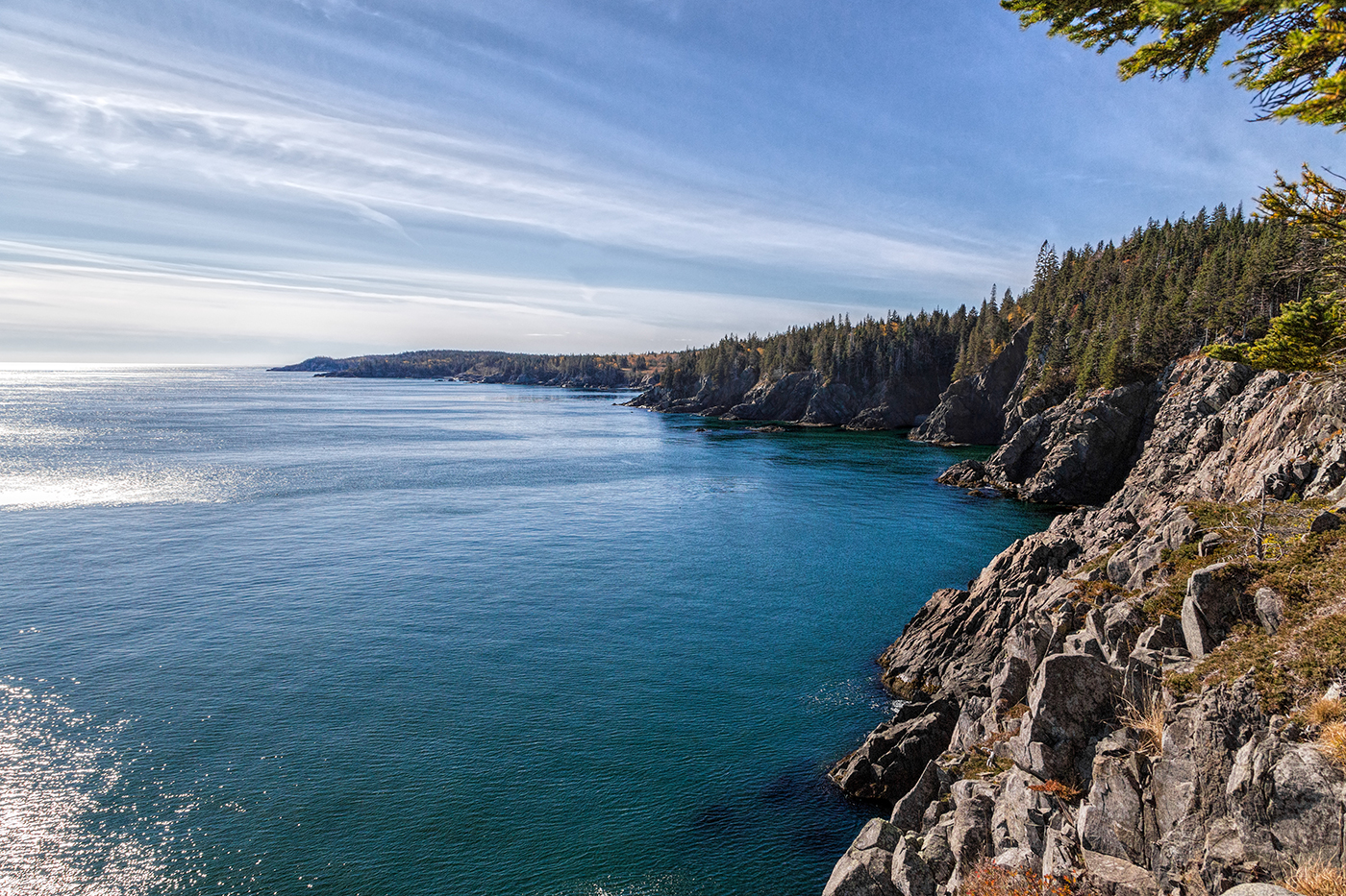
Location: Cutler, 20 miles east of Machias, Washington County Description: The varied landscape of the 12,234-acre Cutler Coast Public Reserved Land unit shifts between peatlands, woodlands, and blueberry barrens along the cliffs of the stunning “Bold Coast,” overlooking the Bay of Fundy. The parcel includes 5,216 acres that are part of the state’s Ecological Reserve System due Read More
Deboullie Public Reserved Land
Location: Township 15, Range 9 WELS, about 30 miles southwest of Fort Kent, Aroostook County Description: Deboullie is the French word for “rock slide.” The 21,871-acre Deboullie Public Reserved Land unit is named for the rock slides found on the low, rugged mountains located on the southeastern corner quarter of the unit. Hikers enjoy exploring Deboullie Mountain’s historic Read More


