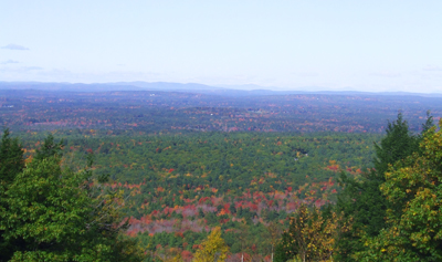
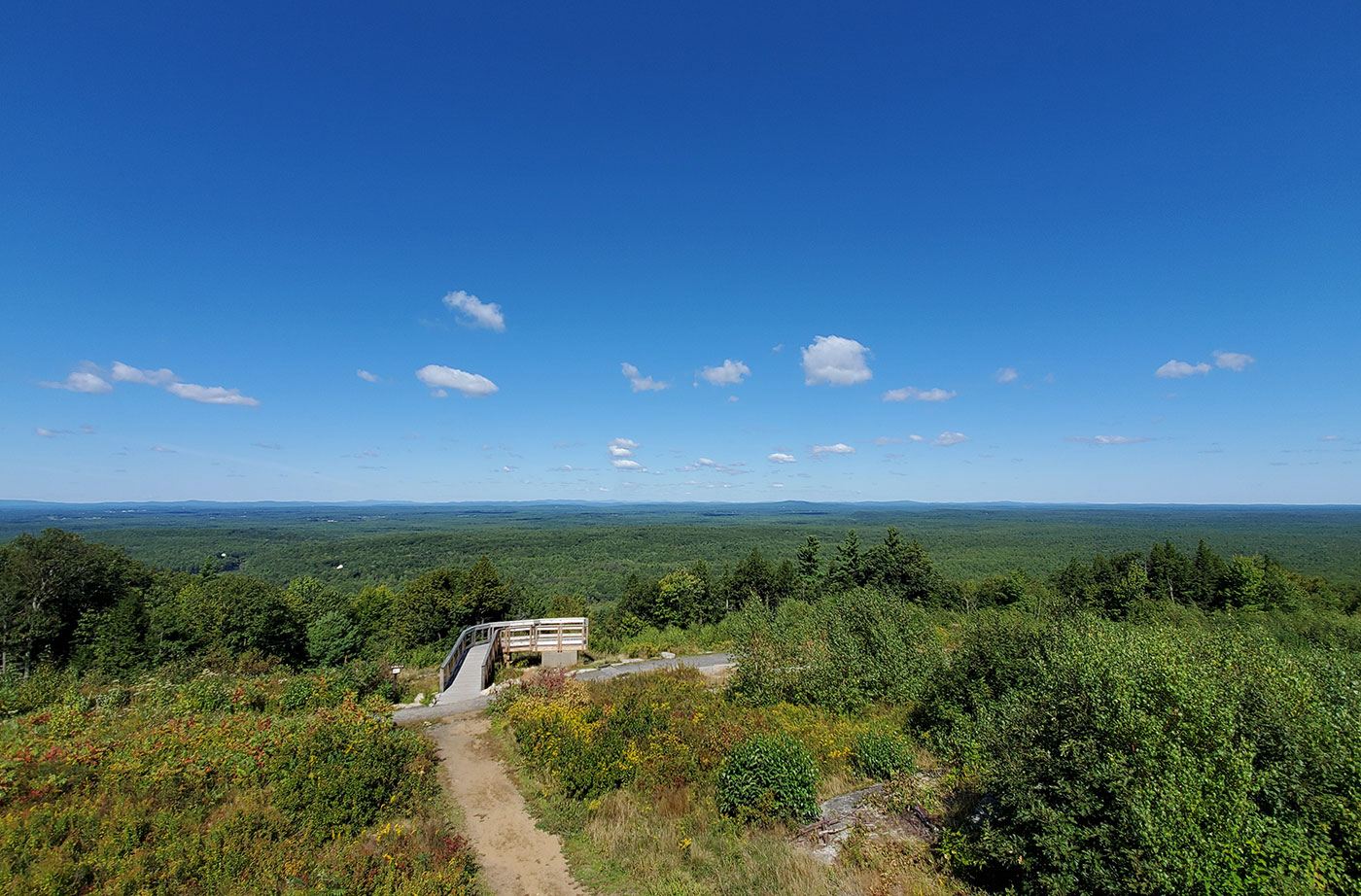
The lands surrounding Mount Agamenticus contain the state’s most diverse array of species and the largest number of rare and endangered species, despite being situated in Maine’s most densely populated county. Over the dozen years preceding 2002, the amount of conserved land in the vicinity of Mount Agamenticus and the York River doubled, thanks to Read More
Hiking
We are fortunate that Maine has hundreds of miles of trails to explore. These locations are great for all levels of hiking—from winding trails along Maine's coast to high mountain peaks in western Maine and beyond. Always check the weather before heading out, and let a friend or family member know where you are headed if you are hiking alone. Don't forget to check in when you return. Enjoy your time exploring Maine's public lands!
Mount Agamenticus Region
Thanks to persistent work by a coalition of conservation groups and governmental entities, wildlife and human visitors can enjoy in perpetuity more than 9,500 acres of protected land on and around “Mount A,” a 691-foot monadnock that rises from the coastal plains of southern York County. The Agamenticus area holds the greatest species diversity in Read More
Mount Abraham
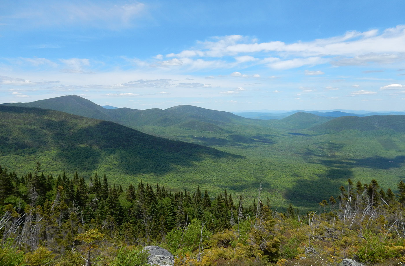
At 4,049 feet, the summit of Mount Abraham offers panoramic views of Maine’s western mountains. It is one of only 13 peaks in Maine higher than 4,000 feet, all but two of which are now in public ownership. Located near the Appalachian Trail, Mt. Abraham (or Abram as it is known locally) offers one of Read More
Mount Blue Region and Tumbledown Mountain
Visitors from throughout Maine and beyond have enjoyed hiking up Tumbledown Mountain (3,068 feet) and surrounding peaks for the better part of a century, most of them never knowing that they were crossing private land. Hikers assumed that the land was part of nearby Mt. Blue State Park in Weld, a highly popular park that Read More
Mount Kineo
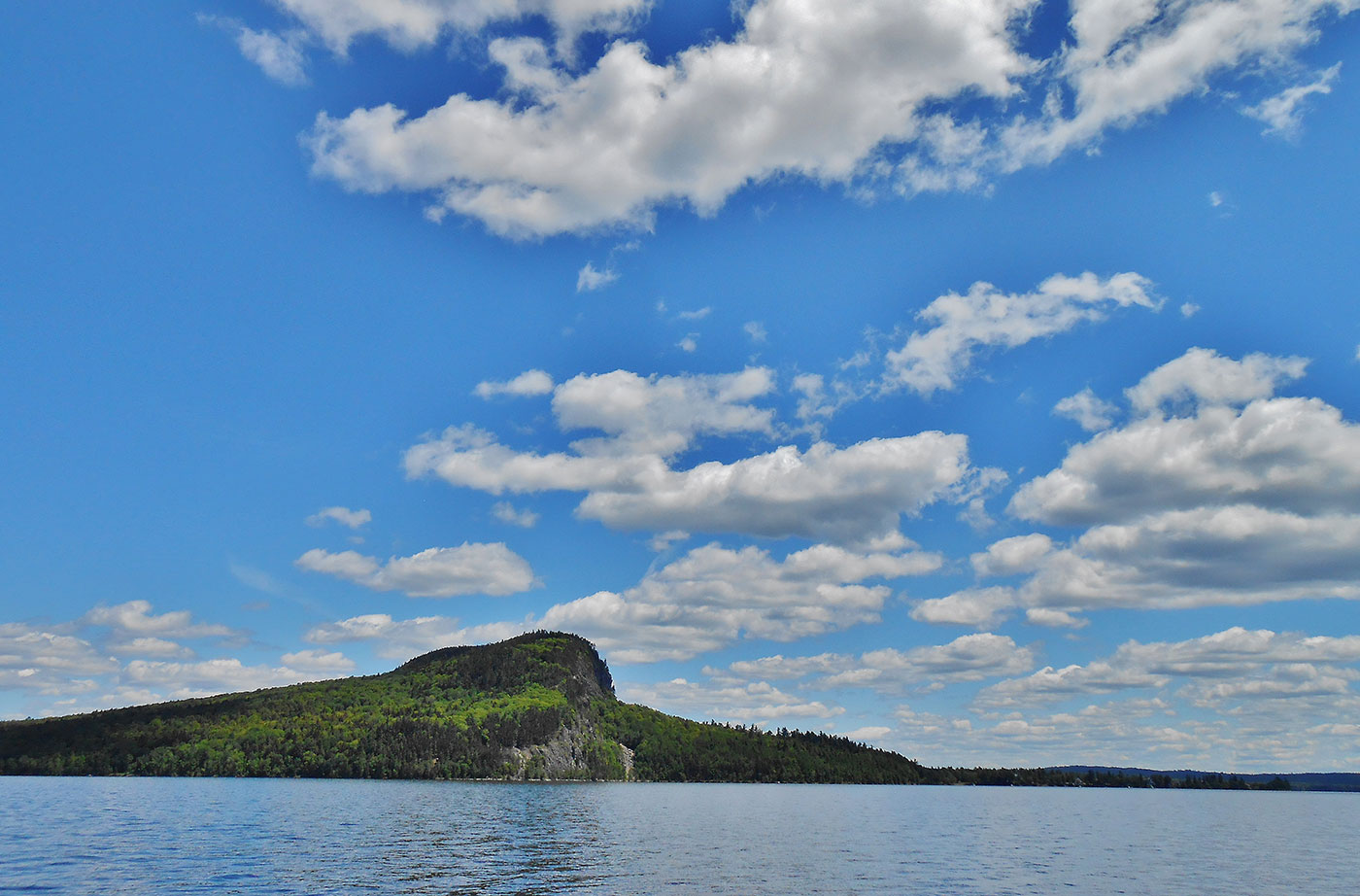
Mount Kineo, with 700-foot cliffs rising straight up from Moosehead Lake, is an unforgettable setting that has lured people for centuries. Indigenous peoples once traveled great distances to Mt. Kineo, relying on its flint-like rhyolite to make stone tools. In recent centuries, Kineo’s spectacular scenery and the amenities of Moosehead Lake drew “rusticators” and summer Read More
Nahmakanta Public Reserve
Nahmakanta, the State’s largest Public Reserve at more that 43,000 acres, offers backcountry visitors a roadless forest of more than 8,000 acres, a 12-mile stretch of the Appalachian Trail, lakeside and remote campsites, and 24 lakes and ponds with more than 50 miles of combined shore frontage. In 1990, the Land for Maine’s Future program Read More
Narraguagus River—Little Falls
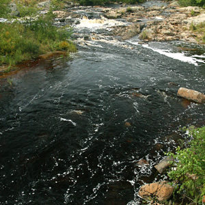
Straddling a half-mile along the Narraguagus River, the 221 acres surrounding Little Falls supports some of the highest densities of juvenile Atlantic salmon found in the river’s lower reaches. The Narraguagus still supports a run of native Atlantic salmon, and is one of eight rivers where the species is federally listed as endangered. With support Read More
Newport/Dover-Foxcroft Rail Trail
When rails and ties were pulled up along the old Maine Central Railroad line between Newport and Dover-Foxcroft in 1993, area residents began to claim this rail trail (Four Seasons Adventure Trail) for their own. There are no other public lands in the area and people were eager to have a convenient site for outdoor Read More
Nicatous and West Lakes
By combining conservation easements on working timberland with public land acquisition, the State protected 22,370 acres of contiguous forest with 30 miles of undeveloped shoreline on two lakes and five ponds. The centerpiece of this property is 5,100-acre Nicatous Lake, widely considered to be one of Maine’s most beautiful water bodies with its pristine sand Read More


