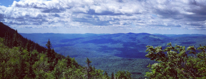
Visitors from throughout Maine and beyond have enjoyed hiking up Tumbledown Mountain (3,068 feet) and surrounding peaks for the better part of a century, most of them never knowing that they were crossing private land. Hikers assumed that the land was part of nearby Mt. Blue State Park in Weld, a highly popular park that Read More
Fishing
Many Maine public lands are open for fishing. Here are a few great spots for you to head with your fishing pole and tackle. Please be sure to visit the State of Maine website to learn about Maine's fishing rules and laws, and learn how to obtain a fishing license.
Narraguagus River—Little Falls
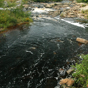
Straddling a half-mile along the Narraguagus River, the 221 acres surrounding Little Falls supports some of the highest densities of juvenile Atlantic salmon found in the river’s lower reaches. The Narraguagus still supports a run of native Atlantic salmon, and is one of eight rivers where the species is federally listed as endangered. With support Read More
Nicatous and West Lakes
By combining conservation easements on working timberland with public land acquisition, the State protected 22,370 acres of contiguous forest with 30 miles of undeveloped shoreline on two lakes and five ponds. The centerpiece of this property is 5,100-acre Nicatous Lake, widely considered to be one of Maine’s most beautiful water bodies with its pristine sand Read More
Orbeton Stream
Located in the towns of Madrid and Phillips, the Orbeton Stream Project secured a conservation easement in December 2015 on nearly 6,000 acres surrounding Orbeton Stream. The easement ensures sustainable forest management and allows public access for hiking, fishing, paddling, and hunting. The Orbeton Stream Project follows a portion of the Appalachian Trail (AT). The Read More
Patrick Lake Access
Anglers have long enjoyed access to Patrick Lake, a 275-acre water body north of Machias that supports brown trout, chain pickerel, and white perch. They reached the lake via a boat launching ramp that many people assumed was publicly held but was in fact private. The landowner decided to sell the site as part of Read More
Amherst Mountain Community Forest, Public Reserved Land
Description: The Amherst Mountain Community Forest is part of the Public Reserved Land system, but unlike other units, it is managed jointly with the town of Amherst. The 4,974-acre parcel is home to brook trout, white-tailed deer, black bear, Peregrine Falcons, Ruffed Grouse (partridge), and American Woodcock. The area contains two popular hiking trails, Ducktail Read More
Bald Mountain Public Reserved Land
Location: Just east of Rangeley, Franklin County Description: The Bald Mountain Public Reserved Land is a haven for outdoor enthusiasts during all four seasons. Hike the trail to the summit of Bald Mountain, particularly beautiful during the fall months, and enjoy the views of the surrounding lakes. In the summer, fishermen take to the unit’s Read More
Bigelow Preserve Public Reserved Land
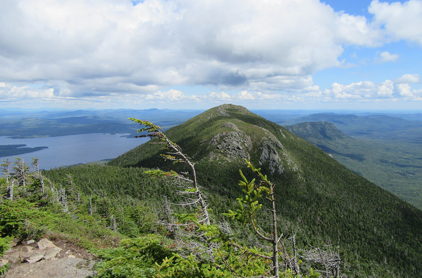
Location: Near Stratton, Franklin County Description: The Bigelow Preserve, the area of which totals 36,000 acres, is bounded on its north by Flagstaff Lake, a 20,000-acre lake, and includes all seven summits of the Bigelow Range, including 4,150-foot West Peak. The Appalachian Trail crosses through part of the Bigelow Preserve. Flagstaff Lake is also part of the Northern Read More
Bradley Public Reserved Land
Location: Bradley, Penobscot County Description: The Bradley unit is comprised of four connecting lots totaling 9,277 acres and a separate 229-acre parcel known as the “Kittridge Farm” lot. The unit contains largely wetlands and peatlands, which are home to species of special concern: northern leopard frog, creeper mussel, and sedge wren. Recreational use of the Read More


