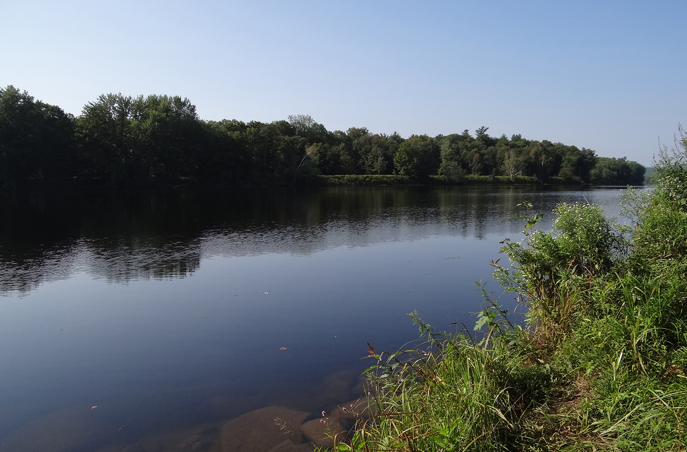
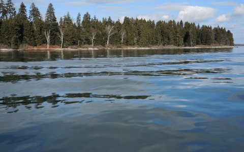
The Maine Department of Inland Fisheries & Wildlife (IF&W) purchased a 51-acre property in Canton bordering the Androscoggin River that provides a trailered boat launch, hand-carry access, and potentially a riverside picnic area. The site lies midway between existing launch sites at Riley Dam and Harvey Brook, providing needed access to the river along the Read More
Fishing
Many Maine public lands are open for fishing. Here are a few great spots for you to head with your fishing pole and tackle. Please be sure to visit the State of Maine website to learn about Maine's fishing rules and laws, and learn how to obtain a fishing license.
Androscoggin Riverlands
When a timber company with lands along the Androscoggin River began to divest itself of its Maine holdings in the late 1980s, local residents grew concerned that the woods they had long enjoyed for traditional recreation might be subdivided and developed. They circulated petition drives, created a video about the property, and sought help from Read More
Aroostook State Park
In a rolling landscape dominated by farms, Quaggy Joe Mountain presents a prominent profile. Alongside it lies Echo Lake, a popular brook trout fishery and swimming destination. Both these recreational resources lie within Aroostook State Park, the first state park ever created in Maine (in 1939). The Park, just five miles south of Presque Isle, draws Read More
Birch Point State Park Addition
A grant from the Land for Maine’s Future program allowed the Maine Department of Conservation to acquire land needed to complete public ownership of the beach, protecting the site’s natural character by buffering it from development. Known for its gentle surf and brisk waters, the attractive crescent-shaped beach at Birch State Point Park (known locally as Lucia Read More
Blackstrap Hill and Wilshore Farm
At 400 feet, Blackstrap Hill is one of the highest points in Cumberland County. The hill is covered in a mix of conifers and hardwoods, with notable stands of rare black birch, mature hemlock and old-growth trees (including a white oak 14 feet in circumference!). Blackstrap Hill’s wooded slopes are visible for miles, a welcome Read More
Burnt and Sheep Islands
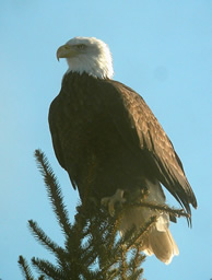
Two undeveloped islands off North Haven, 15-acre Burnt Island and 25-acre Sheep Island, support two pairs of nesting Bald Eagles that are among the most successful in the state. Between 1970 and 1989, the Burnt Island eagle pair (or their successors) raised more than 21 eaglets, according to Charlie Todd, a wildlife biologist with the Read More
Casco Bay Islands (Flag, Mark, & Whaleboat)
Fast-growing residential growth along Casco Bay has fragmented and destroyed much wildlife habitat. For the species that remain, the undeveloped islands in the eastern Bay provide a critical resource. The Land for Maine’s Future (LMF) program has helped to protect three of these islands: 11-acre Mark, 27-acre Flag, and 125-acre Whaleboat. Mark Island is one Read More
Central Maine Sportsman Access Project (CMSAP)
In December 2015, the Trust for Public Land purchased five properties in central Maine that provide outstanding access for hunting and fishing. The land totals at 2,730 acres in Embden, Burnham, Detroit, and Ripley and is the result of collaboration between the Trust for Public Land, Maine Department of Inland Fisheries and Wildlife (MDIFW), and Read More
Choice View Farm
Choice View Farm, situated at the confluence of the Eastern and Kennebec rivers, provides panoramic views of upper Merrymeeting Bay that bring many a passerby on Route 128 to a standstill. Beyond the wide swath of hayfields, one can look out to Swan Island, Abbagadassett Point to the south, and the protected Green Point Farm Read More


