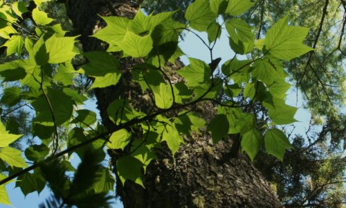
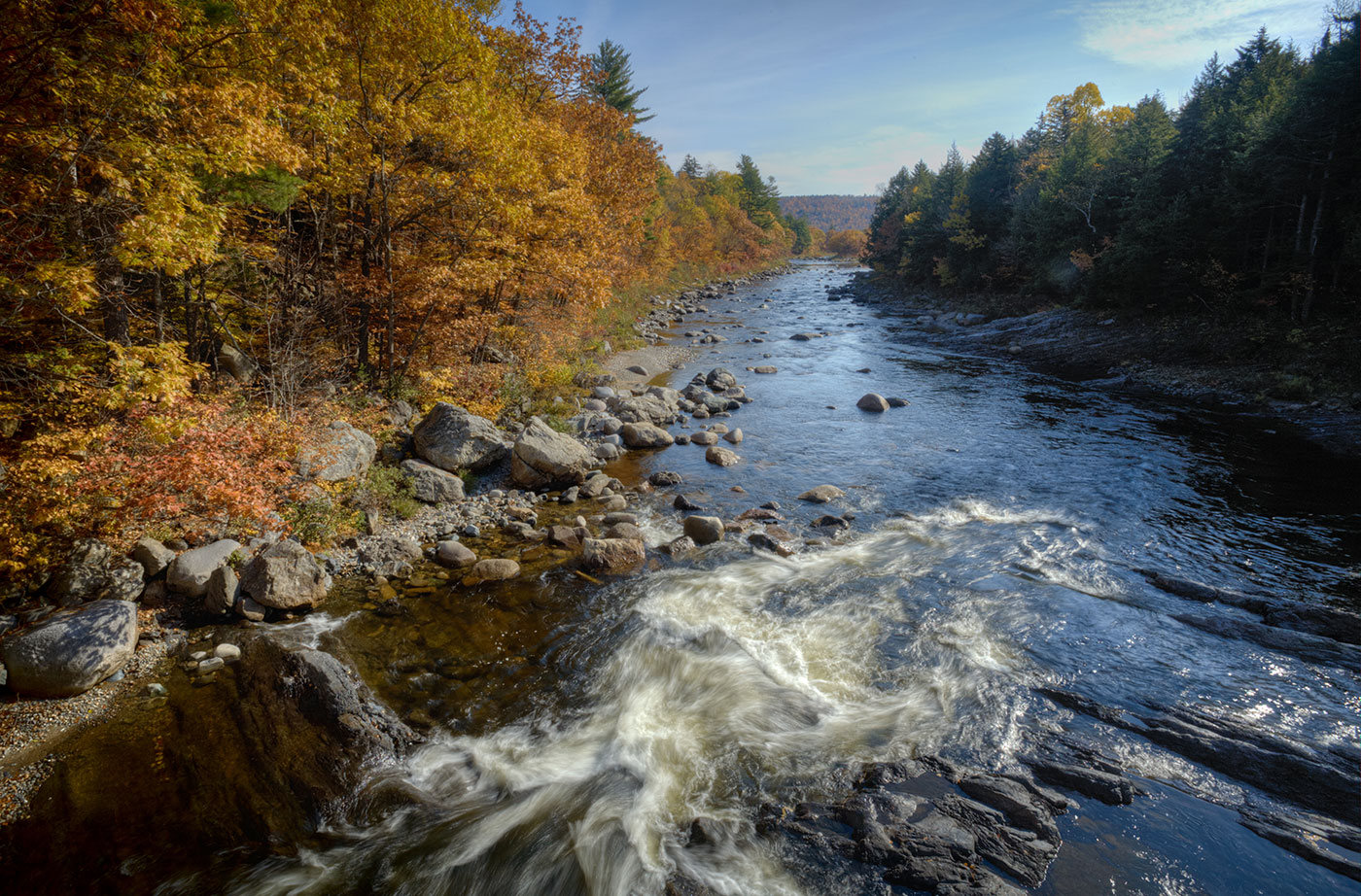
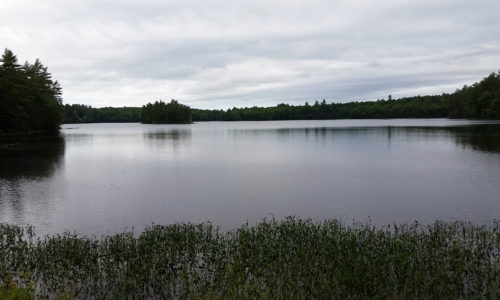
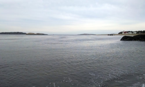
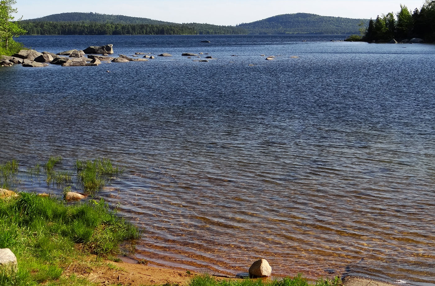
Location: North of Rockwood, Piscataquis County Description: The Seboomook Lake lands are 41,436 acres in size and surround Canada Falls and Seboomook Lake. The lands offer remote recreation opportunities, including hunting, and fishing for wild brook trout and landlocked salmon. The lands mark the beginning of the Penobscot River Corridor and the South Branch of Read More
Fishing
Many Maine public lands are open for fishing. Here are a few great spots for you to head with your fishing pole and tackle. Please be sure to visit the State of Maine website to learn about Maine's fishing rules and laws, and learn how to obtain a fishing license.
Telos Public Reserved Land
Location: Township 6, Range 11 WELS, northwest of Baxter State Park, Penobscot County Description: Telos is a 23,000-acre unit that surrounds Telos Lake and the southern end of Chamberlain Lake, a popular put-in for the Allagash Wilderness Waterway. The unit has several campsites on Coffelos Pond, which is also a popular sight for fisherman. Activities: Read More
Wassataquoik Public Reserved Land
Location: Near Staceyville, Penobscot County Description: The Wassataquoick Public Reserved Land unit contains miles of the Wassataquoik Stream and East Branch of the Penobscot, both of which offer outstanding native brook trout and salmon habitat. Paddlers enjoy the swift currents of the East Branch, and primitive campsites can be found on the shores of Wassataquoik Stream. The Read More
Jamies Pond Wildlife Management Area
Chosen By: Emmie Theberge, Outreach Director Location: Hallowell, Kennebec County Description: Jamies Pond Wildlife Management Area is publicly owned and managed by the Maine Department of Inland Fisheries and Wildlife. This 840-acre property was originally purchased with help from the Land for Maine’s Future program. Jamies Pond is open for a variety of public uses, Read More
Popham Beach
Chosen By: Beth Comeau, Communications Manager Location: Phippsburg, Sagadahoc County Description: Popham Beach is a sandy beach near Fort Popham, at the mouth of the Kennebec River. It’s near the site of the short-lived Popham Colony, founded in 1607 and abandoned the following year. Farther down the beach is Popham Beach State Park, a state Read More
Clean Water Act Protections Vital to Maine Environment, Economy, People
Mainers who care about water quality should contact the EPA during a public comment period. By Nick Bennett Portland Press Herald op-ed AUGUSTA — Do you hunt or fish in Maine? Do you swim in Maine’s lakes or rivers? Do you drink Maine’s water? Do you own or work for a company that uses water? If Read More
Tunk Lake Area, including Donnell Pond and Spring River Lake
Tunk Lake Area, including Donnell Pond and Spring River Lake Location: In and around Township 10 SD, 12 miles east of Ellsworth, Hancock County Description: The Donnell Pond Public Reserved Land unit includes mountains, pristine lakes, and remote ponds all spread out over 14,000 acres in eastern Maine. There are sites for camping along the pond’s beaches, Read More
Pocomoonshine Lake
A Land for Maine’s Future program grant helped the Maine Department of Inland Fisheries & Wildlife acquire land alongside the Town of Princeton’s boat launch on Pocomoonshine Lake. The increased lake frontage will allow for parking and a turnaround at this popular sport fishing site, and will create safer opportunities for swimming (situated farther from Read More
Presumpscot River Preserve and Walton Park Water Access Site
Before its waters were harnessed for dams and polluted with industrial waste, the Presumpscot was a clear and swift-moving river that plunged over 12 sets of falls in its 24-mile course from Sebago Lake to Casco Bay. Improvements in water quality have renewed recreational interest in the river, after decades in which people kept far Read More


