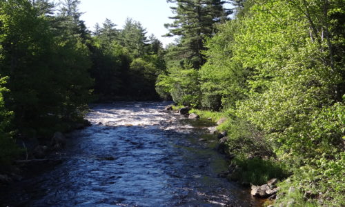
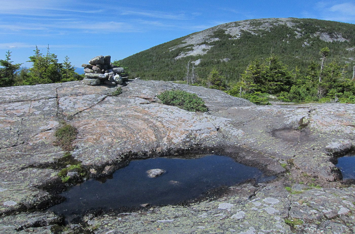
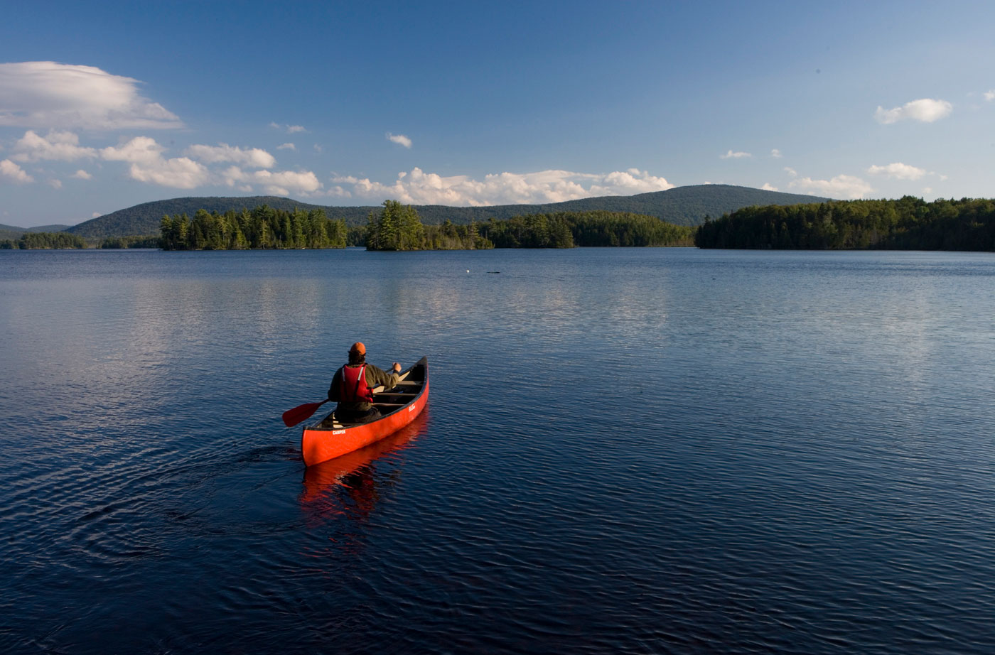
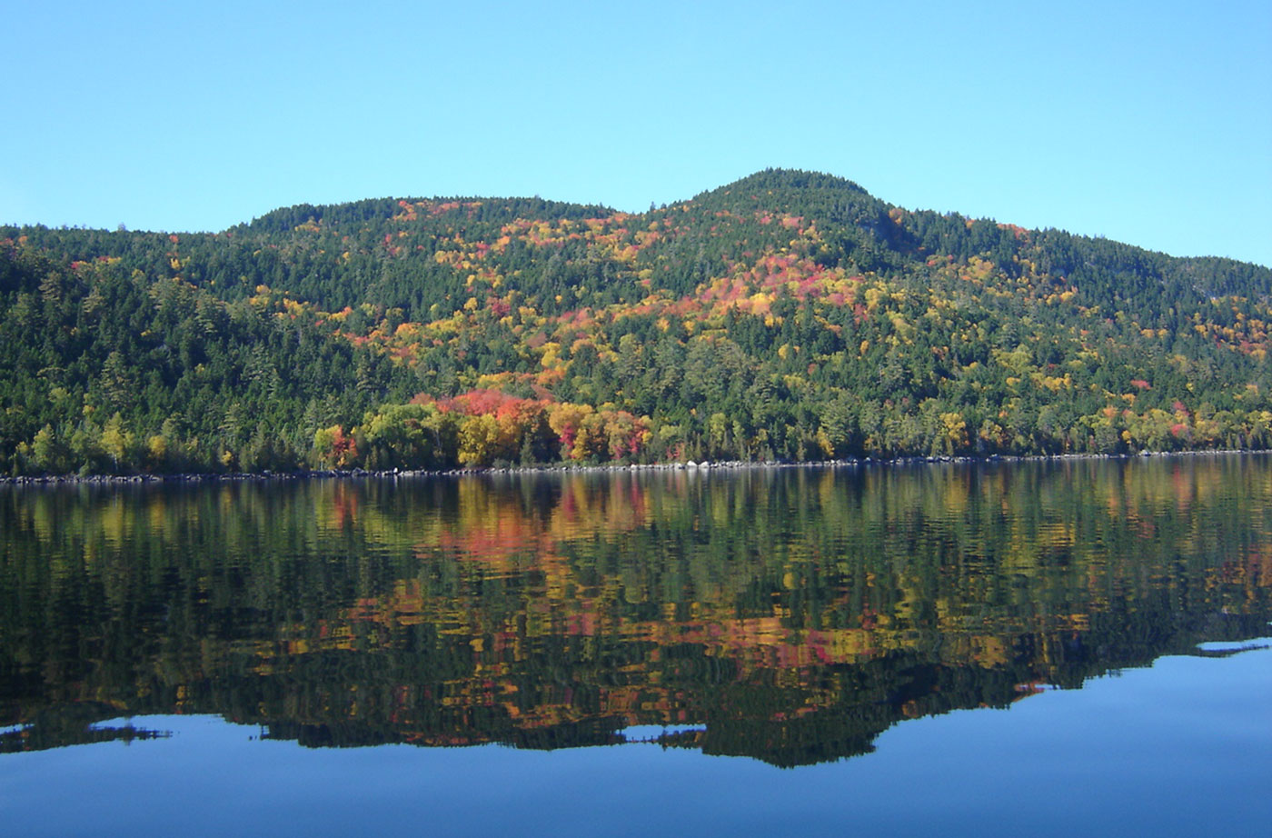
Location: Chesuncook Township, Piscataquis County Description: The Gero Island Public Reserved Land unit is comprised of the majority of Gero Island in Chesuncook Lake, as well as most of the historic Chesuncook Village on the mainland, southwest of the island. Chesuncook Village was settled in 1849 by Ansel A. Smith as a logging outfit. The water access Read More
Fishing
Many Maine public lands are open for fishing. Here are a few great spots for you to head with your fishing pole and tackle. Please be sure to visit the State of Maine website to learn about Maine's fishing rules and laws, and learn how to obtain a fishing license.
Great Heath Public Reserved Land
Location: In Township 18 MD, north of Cherryfield, Washington County Description: The Great Heath is one of the largest peatland systems in Maine. The entirety of the state-owned portion of the Great Heath was designated as an Ecological Reserve in 2001 to protect Maine’s biological diversity, among other purposes. It is an excellent example of a domed Read More
Kennebec Highlands Public Reserved Land
Location: 10 miles north of Belgrade, Kennebec County Description: At just over 6,500 acres, the Kennebec Highlands Public Reserved Land unit is the largest contiguous area of conserved land in Central Maine. The unit includes the summit of McGaffey Mountain, the tallest peak in Kennebec County, along with two other hiking trails, both of which Read More
Little Moose Public Reserved Land
Location: Moosehead Junction and Big Moose townships, just east of Greenville, Piscataquis County Description: The Little Moose unit is more than 15,000 acres in size and is a popular hiking destination. The area includes most of the Little Moose Mountain Range, which features steep slopes, rocky streams, and remote ponds. The Eagle Rock Trail is Read More
Machias River Corridor Public Reserved Land
Location: Surrounding the Machias River, Washington County Description: The Machias River Corridor envelopes the Machias River, which features the country’s largest self-sustaining wild Atlantic salmon run. The greater river system also supports a wide array of wading birds, waterfowl, neotropical migrants, and grassland species. The 76-mile Machias River canoe trip is popular with experienced paddlers. Read More
Mahoosuc Public Reserved Land
Location: West of Newry, Oxford County Description: The Mahoosuc Public Reserved Land unit includes the entire Mahoosuc Range, which features some of Maine’s most challenging and beautiful mountains, including the 4,180-foot Old Speck. A receding glacier 12,000 years ago created the Mahoosuc Range and what is commonly known to be 12 of the most difficult miles of Read More
Moosehead Lake Public Reserved Land
Location: North of Greenville, Piscataquis County Description: Moosehead is Maine and New England’s largest lake. Moosehead was formed by a mile-thick receding glacier almost 18,000 years ago. Wabanaki Native Americans have lived in the region for the past 1,000 years and place great spiritual significance in Mount Kineo, on one of the lake’s islands. Named Read More
Nahmakanta Public Reserved Land
Location: West of Millinocket, Penobscot County Description: The Nahmakanta unit is 43,000 acres and includes forest, mountains, and 24 great ponds. Fishing is popular on the great ponds. Pollywog Gorge is a popular destination for visitors to the land, with a mile-high drop down to the scenic gorge. Nine miles of the Appalachian Trail cross through the Read More
Spring: Day 3 on Fifth Pond, the Headwaters of the St. John River
On Day 2 of our spring trip, Brian and I split up for a few hours. Brian had had great luck catching brook trout below the old dam, and I wanted to search for arriving migratory birds, especially warblers. The colorful, palm-sized species journey hundreds and thousands of miles north to nest and breed in Read More


