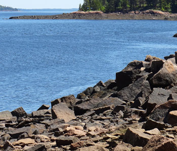
The City of Calais and the St. Croix International Waterway Commission were able to conserve the highest headland in Downeast Maine, Devil’s Head, with significant help from the Land for Maine’s Future program, the Maine Coastal Program, Maine Department of Conservation, Maine Outdoor Heritage Fund and others. Devil’s Head, which towers 340 vertical feet above the St. Read More
Dog Walking
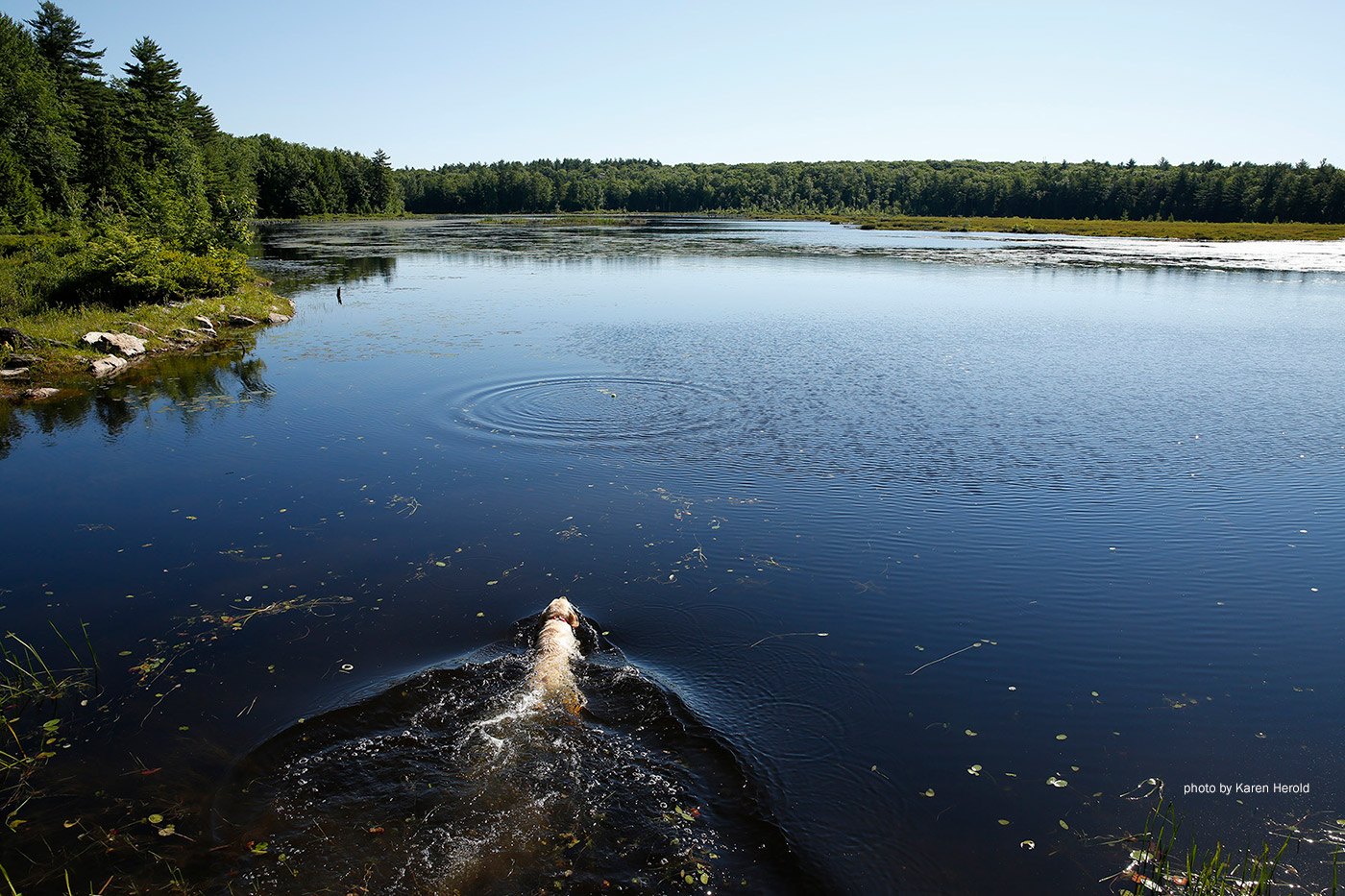
Humans enjoy getting out to explore Maine's environment—but so do our four-legged friends! Taking a walk with your dog on one of Maine's public lands is great exercise for you, and for your pet. Keeping your dog active will help work off some energy and keep their muscles in shape. These locations allow dogs, but Maine has a leash law, so be sure you have your dog leashed or harnessed as you head out to explore. Also be sure to have plenty of fresh water for them during and after your hike.
Dodge Point
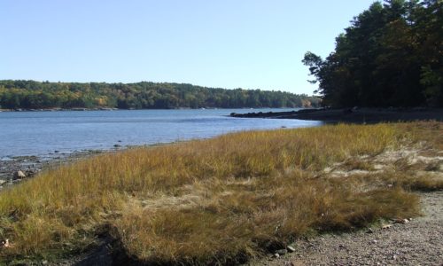
Dodge Point slopes gently down from a 240-foot height of land to the Damariscotta River, where the land drops off precipitously in places–offering views downriver that extend for miles. The property is rich in ecological and historical values as well as scenic beauty. The 508-acre peninsula has old growth trees, several important plant communities, Native Read More
Ducktrap Preserve
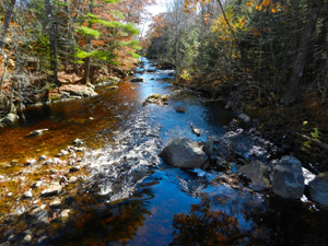
The Land for Maine’s Future (LMF) program has helped an ambitious effort to protect all the lands bordering the Ducktrap River, buffering critical salmon spawning and rearing habitat in one of the last eight rivers in Maine with runs of native Atlantic salmon. This land protection project has met with remarkable success, thanks to the Read More
Fuller Farm
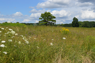
Lying in Maine’s fastest growing community, Fuller Farm has a pastoral mix of hayfields, grasslands, and woodlands that slope down to the Nonesuch River. The 23-mile river, which flows into Scarborough Marsh (Maine’s largest saltwater marsh), is classified by the State as a “high value fishery” and as a “priority watershed,” having several fish species Read More
Jay to Farmington “Whistle Stop” Trail
For more than a century, trains passed through meadows, wetlands, and dense woods en route between Jay and West Farmington. After train service was discontinued, the rail company that owned this 15-mile corridor generously agreed to sell it for less than its appraised value — enabling the State and local communities to protect this valuable Read More
Kennebec Highlands
From the highest points in the Kennebec Highlands, a 6,400-acre expanse of wooded hills and wetlands just north of Augusta, one can see to the White Mountains, Mt. Katahdin, and the Camden Hills. Foreground views encompass the Belgrade Lakes and vast stretches of contiguous forest land – broken only by an occasional blueberry field, marsh, Read More
Knight’s Pond Preserve
Knight’s Pond is situated less than a mile from both Cumberland and North Yarmouth centers and is suitable for a range of recreational activities, including ice skating, fishing, dog walking, mountain biking, trail running, snowmobiling, hunting, and more. Visitors are permitted to snowshoe and cross-country ski, although the trails are not maintained for these activities Read More
Lobster Cove Meadow and Penny Lake
The Boothbay Region Land Trust has created many popular preserves on the Boothbay peninsula, protecting valuable wildlife habitat and recreational opportunities for community residents. A Land for Maine’s Future Program grant and funds from the U.S. Fish & Wildlife Service helped to create two new preserves encompassing both Boothbay Harbor’s major freshwater wetlands. The properties are rich Read More
Mill Pond Park
Like many island communities in Maine, Swans Island has experienced a steady loss in public shore access in recent years. New development and changes in ownership have closed off lands by which community members once reached the water. When an opportunity arose to secure a waterfront park site, town residents acted quickly to acquire the Read More


