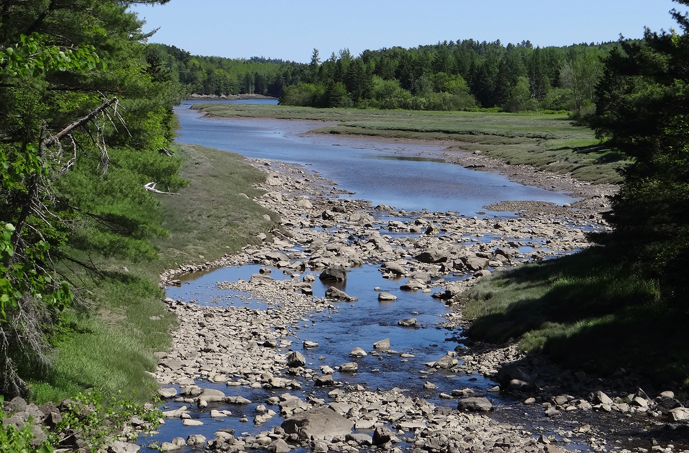
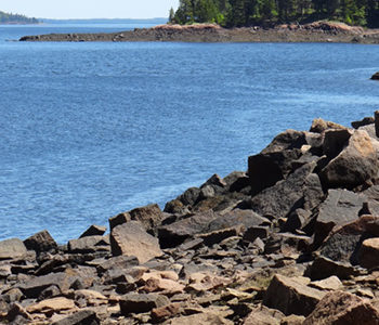
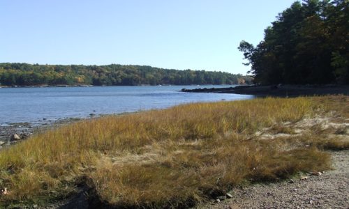
Commissary Point lies at the head of Whiting Bay, just across the water from Tide Mill Farm — a 1,500-acre property protected by an easement that the State purchased with a Land for Maine’s Future (LMF) program grant. Another LMF grant enabled the Maine Department of Inland Fisheries & Wildlife (IF&W) to acquire Commissary Point, and Read More
Cross-country Skiing and Snowshoeing
Maine is beautiful during every season, but winter is the perfect time to head outside to explore the state's public lands. These locations allow cross-country skiing and snowshoeing.
Crowley Island
Lying between the West and Indian rivers northwest of Jonesport, Crowley Island is a 700-acre natural oasis for shorebirds and migratory waterfowl. It provides critical habitat to a number of species at risk, including black ducks. Much of the island will be managed to foster its wildlife habitat, thanks to the collective efforts of generous Read More
Cutler Coast
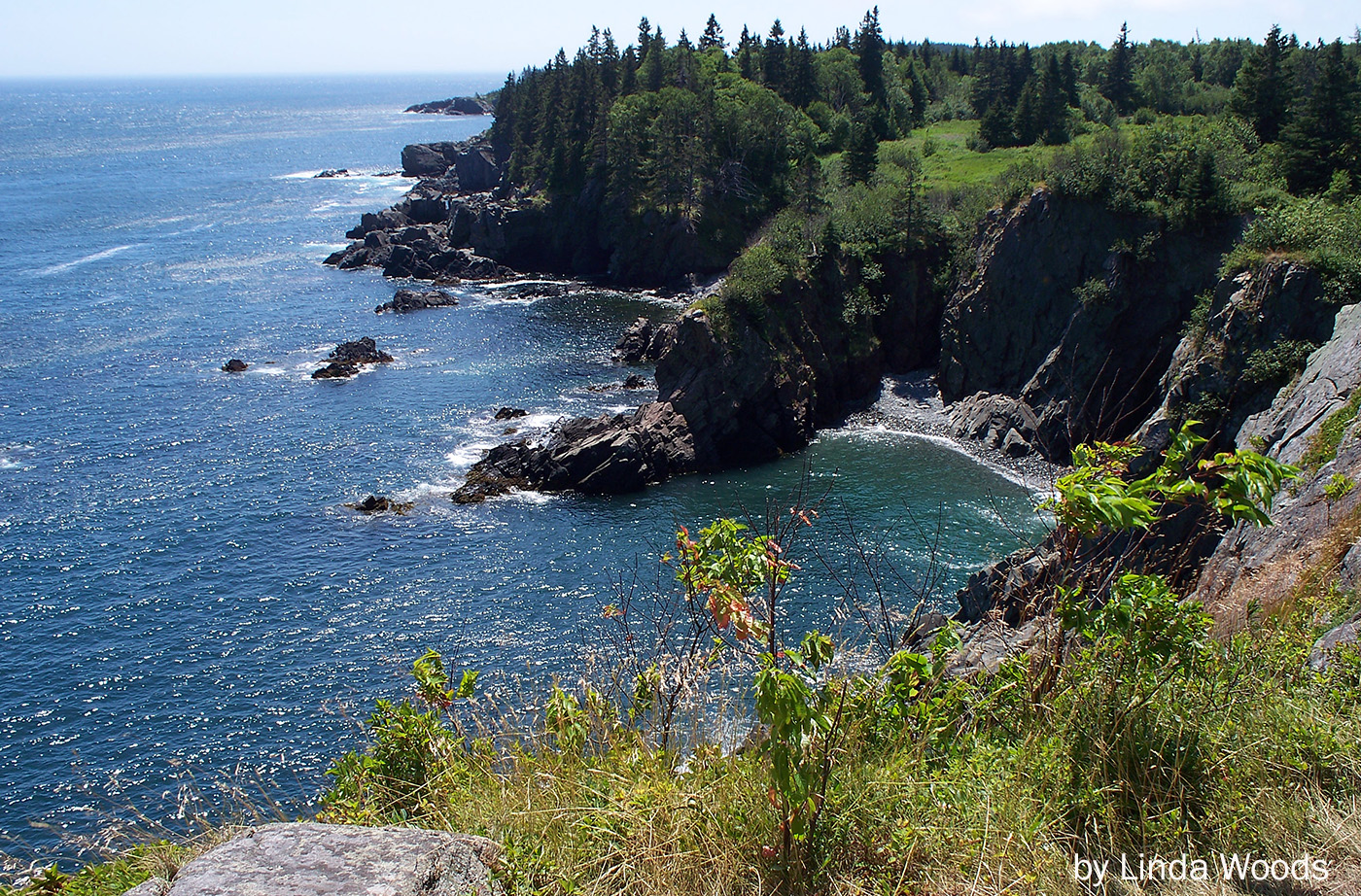
When this 2,100-acre stretch of Maine’s Bold Coast went on the market in 1989, conservation groups moved quickly to ensure its protection. Maine Coast Heritage Trust and The Conservation Fund coordinated purchase of the Cutler Coast property and an additional 8,900 acres of woodland and grasslands in the towns of Cutler and Whiting. From them, Read More
David Rancourt River Preserve
This 14-acre preserve is owned by the Androscoggin Land Trust and is a component of the Androscoggin Greenway. The property was purchased from the City of Lewiston with Land for Maine’s Future water access funds in 2007. The property contains a walking trail, two beautiful sand beaches along the Androscoggin River, and a scenic overlook. Read More
Dennys River Corridor
The Dennys River is rich in superlatives. Among all the Downeast salmon rivers that are rated as “outstanding” for their water quality and wildlife values, the Dennys has the richest wildlife, the most diverse riverine and riparian plant communities, and the longest stretch of river without road crossings or camps. Thanks to the efforts of Read More
Devil’s Head — St. Croix International Waterway
The City of Calais and the St. Croix International Waterway Commission were able to conserve the highest headland in Downeast Maine, Devil’s Head, with significant help from the Land for Maine’s Future program, the Maine Coastal Program, Maine Department of Conservation, Maine Outdoor Heritage Fund and others. Devil’s Head, which towers 340 vertical feet above the St. Read More
Dodge Point
Dodge Point slopes gently down from a 240-foot height of land to the Damariscotta River, where the land drops off precipitously in places–offering views downriver that extend for miles. The property is rich in ecological and historical values as well as scenic beauty. The 508-acre peninsula has old growth trees, several important plant communities, Native Read More
Ducktrap Preserve
The Land for Maine’s Future (LMF) program has helped an ambitious effort to protect all the lands bordering the Ducktrap River, buffering critical salmon spawning and rearing habitat in one of the last eight rivers in Maine with runs of native Atlantic salmon. This land protection project has met with remarkable success, thanks to the Read More
Egypt Bay
As part of a Land for Maine’s Future project, nearly a mile of shorefront along Egypt/Taunton Bays as well as the title to two small islands, aptly known as the Little Islands, was transferred to the State of Maine. The shoreline tract has historically been used by Bald Eagles for nesting, and lies in the Read More


