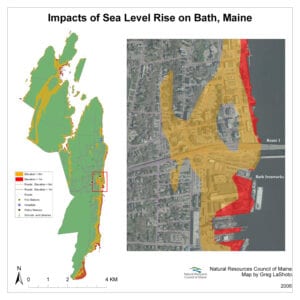
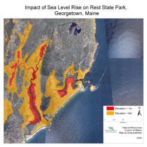
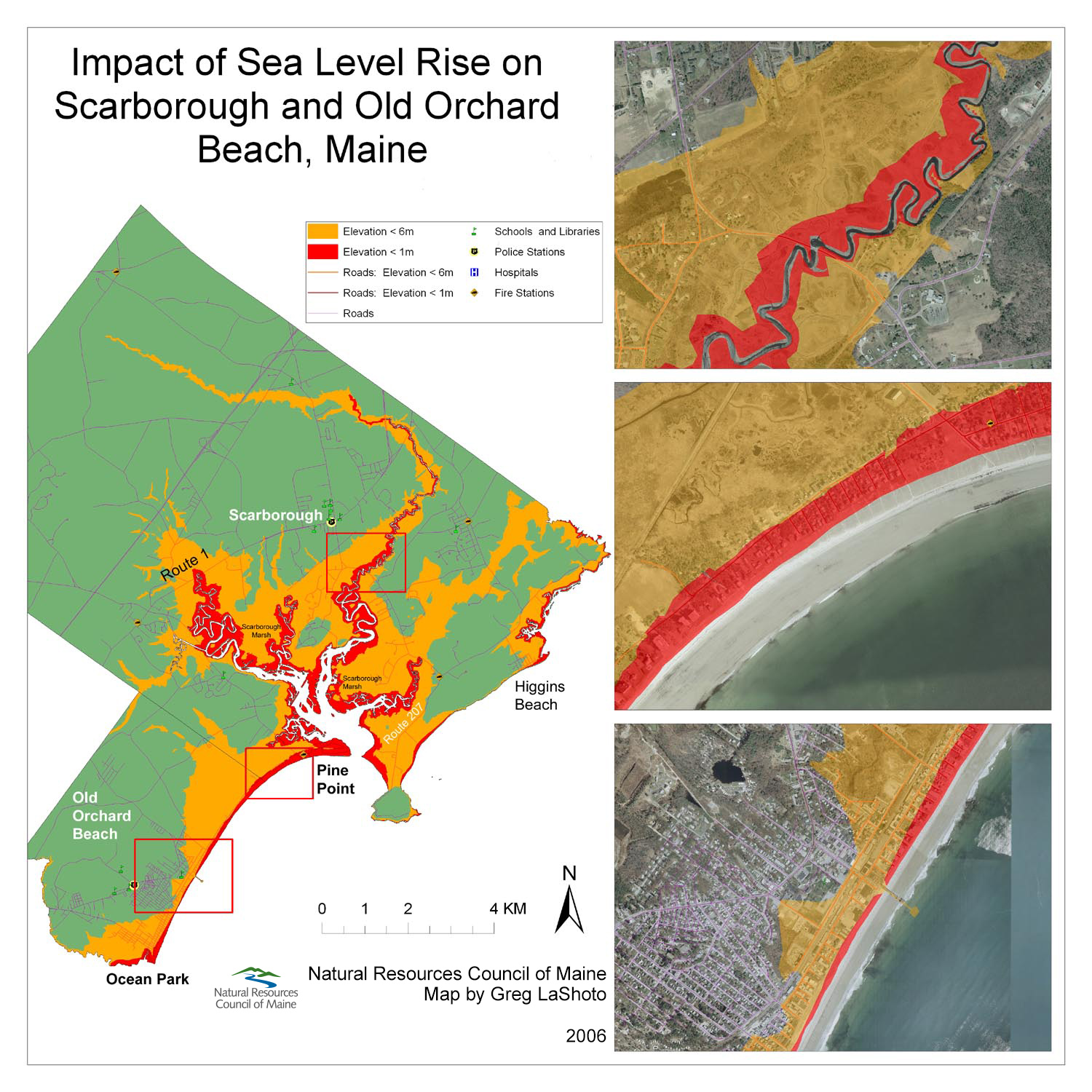
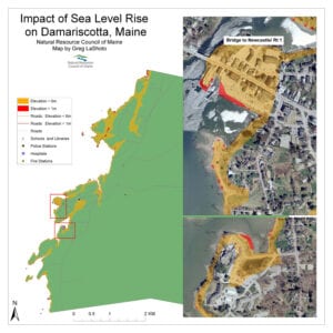
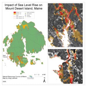
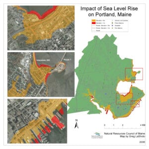
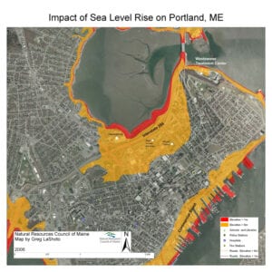
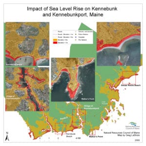
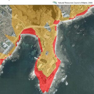
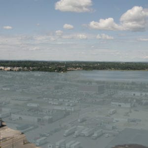
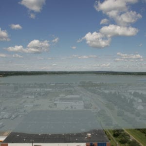
Sea-level rise in Maine, due to global warming, poses a serious threat. It puts at risk coastal habitat for a variety of wildlife, including the Piping Plover and Least Tern, both of which nest on beaches and are of high conservation concern. Our state’s iconic seaside communities (seen in the maps below) are home to a large segment of our population and are responsible for generation millions of dollars in revenue each year. Damage to scenic beauty and the livelihood of fishermen and other natural resource-based economies could be devastating. Infrastructure damage in places such as Portland and Bath could be extremely costly.
To demonstrate the potential damage that sea-level rise in Maine could cause, we analyzed oceanside communities up and down Maine’s coast and created maps using GIS technology. We invite you to view the maps to the impacts that a one-meter (shown in red) and a six-meter sea-level rise (shown in yellow) would have on these areas. Learn more about NRCM's work to curb climate change pollution.
View additional list of Maine towns that would be affected by sea-level rise.
|
Impacts from
1-meter Sea-level rise |
Impacts from
6-meter Sea-level rise |
|||||||||||
|
Town
|
Population (in 2000)
|
Acres |
% of town | Road (km) |
Acres |
% of town | Road (km) |
Municipal Buildings |
||||
|
Arrowsic |
480 |
148 |
3% |
0 |
1,507 |
30% |
4 |
|||||
|
Boothbay Harbor |
2,330 |
124 |
3% |
0 |
543 |
15% |
6 |
Boothbay Elementary School, Boothbay High School |
||||
|
Cranberry Isles |
130 |
99 |
5% |
0 |
618 |
31% |
0.5 |
|||||
|
Jonesport |
1,410 |
172 |
1% |
0 |
2,569 |
14% |
7 |
Jonesport Vol. Fire Dept, Jonesport Police Dept |
||||
|
Kennebunkport |
3,720 |
395 |
3% |
2 |
2,272 |
17% |
20 |
Cape Porpoise Library, Cape Porpoise Fire Station, Kennebunkport Consolidated School |
||||
|
Old Orchard Beach |
8,860 |
99 |
2% |
4 |
1,235 |
26% |
26 |
|||||
|
Portland |
64,250 |
247 |
2% |
7 |
1,507 |
11% |
56 |
|||||
|
Scarborough |
16,970 |
1,531 |
5% |
9 |
6,817 |
22% |
42 |
Fire Department and Engine House #4 |
||||
|
South Portland |
23,330 |
173 |
2% |
4 |
815 |
11% |
23 |
So. Portland Fire Dept, Vol. Fire Dept., 2 Engine Houses, Police Dept., Mahoney Middle School, Brown Elementary School |
||||
|
Vinalhaven |
1,240 |
1,235 |
8% |
5 |
3,409 |
23% |
12 |
Vinalhaven Public Library |
||||
|
Bath |
9,200 |
148 |
2% |
1 |
1,013 |
17% |
9 |
Bath Police Department |
||||
|
Beals |
620 |
173 |
5% |
0 |
716 |
20% |
2 |
Beals Elementary School |
||||
|
Deer Isle |
1,880 |
790 |
4% |
4 |
3,483 |
19% |
17 |
|||||
|
Harpswell |
5,240 |
519 |
3% |
2 |
3,186 |
21% |
12 |
|||||
|
Kittery |
9,540 |
296 |
3% |
1 |
2,025 |
18% |
13 | |||||
|
North Haven |
380 |
469 |
6% |
1 |
1,828 |
25% |
8 |
North Haven Fire Dept. |
||||
|
Phippsburg |
2,110 |
519 |
3% |
1 |
3,458 |
19% |
12 |
|||||
|
Tremont |
1,530 |
371 |
4% |
1 |
1,556 |
14% |
8 |
Tremont Vol. Fire Dept., Tremont Consolidated School |
||||
|
Wells |
9,400 |
840 |
2% |
13 |
2,421 |
7% |
23 |
|||||
|
York |
12,850 |
321 |
1% |
3 |
2,915 |
8% |
24 |
York Fire Dept. (York Beach Station) |
||||
|
Total |
20,200 |
1% |
85 |
128,000 |
6% |
615 |
32 municipal buildings |
|||||
|
||||||||||||


