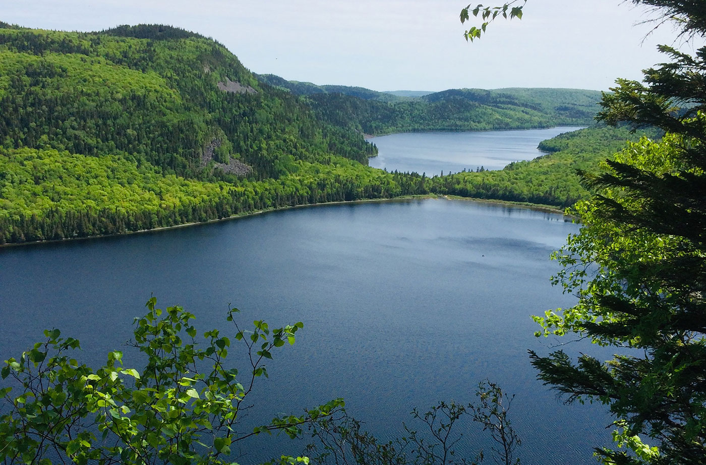
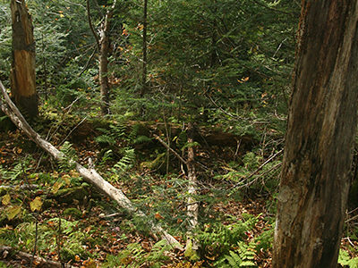
Location: Township 15, Range 9 WELS, about 30 miles southwest of Fort Kent, Aroostook County Description: Deboullie is the French word for “rock slide.” The 21,871-acre Deboullie Public Reserved Land unit is named for the rock slides found on the low, rugged mountains located on the southeastern corner quarter of the unit. Hikers enjoy exploring Deboullie Mountain’s historic Read More
Public Reserved Lands
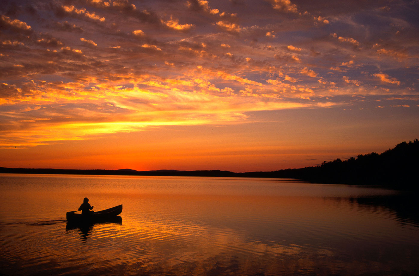
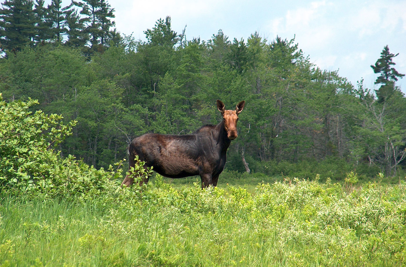
Maine has approximately 600,000 acres of Public Reserved Lands, managed by the Bureau of Parks and Lands, in 37 separate parcels located across the state. These lands are enjoyed for their outstanding hiking, camping, birding, fishing, and hunting opportunities. They include the Bigelow Preserve, Kennebec Highlands, Tumbledown, Cutler’s Bold Coast, Donnell Pond, Debouillie, Mount Abraham, and other Maine gems.
Dodge Point Public Reserved Land
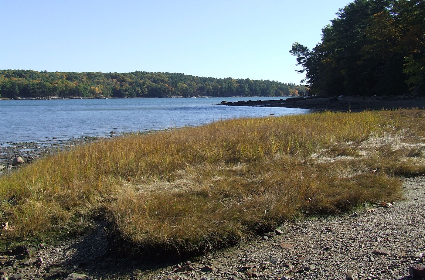
Location: Near Newcastle, in Lincoln County Description: The Dodge Point Public Reserved Land unit is 521 acres that includes more than 8,000 feet of gorgeous riverfront on the Damariscotta River. This land includes sandy beaches, ponds, and streams. Visitors enjoy the different trails on the unit, including the Shore Trail, which provides views of the Read More
Donnell Pond Public Reserved Land
Location: In and around Township 10 SD, 12 miles east of Ellsworth, Hancock County Description: The Donnell Pond Public Reserved Land unit includes mountains, pristine lakes, and remote ponds all spread out over 14,000 acres in eastern Maine. There are sites for camping along the pond’s beaches, and great options for those who enjoy paddling. Read More
Duck Lake Public Reserved Land
Location: Just south of Lakeville, northern Hancock County Description: The Duck Lake unit is comprised of more than 27,000 acres, just to the east of Grand Lake Stream. The unit contains Duck Lake and Gassahias Lake, which offer fishing, boating, swimming, camping, and snowmobiling opportunities. An Ecological Reserve has been established on the eastern portion of the unit Read More
Eagle Lake Public Reserved Land
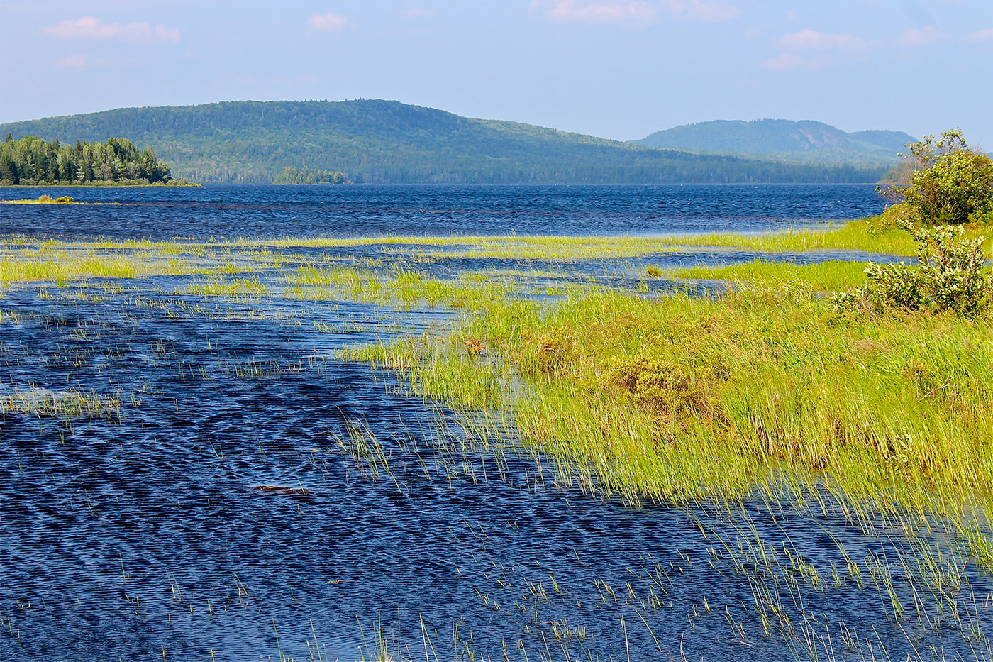
Location: Township 16, Range 6 WELS, next to the town of Eagle Lake, about 15 miles south of Fort Kent, Aroostook County Description: The Eagle Lake Public Reserved Land unit spans 24,083 acres on the eastern half of Eagle Lake, an expansive body of water that is enjoyed by pleasure boaters, anglers, and campers. The Read More
Four Ponds Public Reserved Land
Location: South of Rangeley, Franklin County Description: The Four Ponds Public Reserved Land unit is 6,000 acres in size and located east of Mooselookmeguntic Lake. The unit is popular for swimming, fishing, canoeing, and kayaking. Part of the Appalachian Trail cuts through, and there are campgrounds at Little Swift River Pond and Sabbath Day Pond. Snowmobilers Read More
Gero Island Public Reserved Land
Location: Chesuncook Township, Piscataquis County Description: The Gero Island Public Reserved Land unit is comprised of the majority of Gero Island in Chesuncook Lake, as well as most of the historic Chesuncook Village on the mainland, southwest of the island. Chesuncook Village was settled in 1849 by Ansel A. Smith as a logging outfit. The water access Read More
Great Heath Public Reserved Land
Location: In Township 18 MD, north of Cherryfield, Washington County Description: The Great Heath is one of the largest peatland systems in Maine. The entirety of the state-owned portion of the Great Heath was designated as an Ecological Reserve in 2001 to protect Maine’s biological diversity, among other purposes. It is an excellent example of a domed Read More
Holeb Public Reserved Land
Location: 25 miles east of Rockwood, Somerset County Description: The Holeb Public Reserved Land unit is comprised of 20,000 acres of land in western Maine. Many visitors enjoy the popular three-day canoe trip through Attean Pond and the Moose River. This trip includes both Class I and II rapids and a waterfall. Visitors are often Read More


