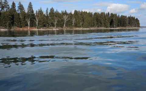
Fast-growing residential growth along Casco Bay has fragmented and destroyed much wildlife habitat. For the species that remain, the undeveloped islands in the eastern Bay provide a critical resource. The Land for Maine’s Future (LMF) program has helped to protect three of these islands: 11-acre Mark, 27-acre Flag, and 125-acre Whaleboat. Mark Island is one Read More
Explore Maine Map locations
Central Maine Sportsman Access Project (CMSAP)
In December 2015, the Trust for Public Land purchased five properties in central Maine that provide outstanding access for hunting and fishing. The land totals at 2,730 acres in Embden, Burnham, Detroit, and Ripley and is the result of collaboration between the Trust for Public Land, Maine Department of Inland Fisheries and Wildlife (MDIFW), and Read More
Choice View Farm
Choice View Farm, situated at the confluence of the Eastern and Kennebec rivers, provides panoramic views of upper Merrymeeting Bay that bring many a passerby on Route 128 to a standstill. Beyond the wide swath of hayfields, one can look out to Swan Island, Abbagadassett Point to the south, and the protected Green Point Farm Read More
Clarry Hill
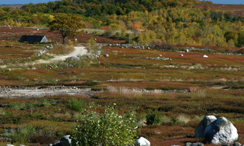
With roughly 360 acres of blueberry fields in active management, Clarry Hill plays an important role in the midcoast blueberry industry. Its high elevations, with expansive views out to the Camden Hills and Western mountains, have made it a target for development as coastal growth and new home construction migrate inland. Subdivision and development of Read More
Clary Lake
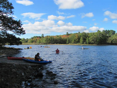
Clary Lake is a popular destination for boaters and anglers. With funds from the Land for Maine’s Future program and the U.S. Fish and Wildlife Service’s Sport Fish Restoration Program, the Maine Department of Inland Fisheries & Wildlife (IF&W) secured funds to acquire a site that provides permanent and safe access for motor boats and Read More
Cold Rain Pond
The good water quality of Cold Rain Pond, near Sebago Lake, supports a thriving cold-water fishery. Lying in an increasingly populous area, this water body is remarkably undeveloped. Only one camp fronts on this “great pond” and a conservation easement held by Loon Echo Land Trust protects most of that private property from further development. No Read More
Cold Stream Forest Project
The Cold Stream Forest Project represents some of the best wild brook trout habitat in Maine. It is a beautiful location near The Forks and West Forks and encompasses more than 8,000 acres of land and water bodies. This project protects Cold Stream, a highly valued brook trout water body along with eight wild brook Read More
Commissary Point
Commissary Point lies at the head of Whiting Bay, just across the water from Tide Mill Farm — a 1,500-acre property protected by an easement that the State purchased with a Land for Maine’s Future (LMF) program grant. Another LMF grant enabled the Maine Department of Inland Fisheries & Wildlife (IF&W) to acquire Commissary Point, and Read More
Crooked Farm
Crooked Farm, lying in a secluded setting along the Pemaquid River, supports an unusual diversity of plants and animals due to varied habitats–from wetlands, fields and forests to high knolls and ravines. Along its 1.27 miles of river frontage, both warm and cold water species of game fish spawn. The wetlands and uplands offer an Read More


