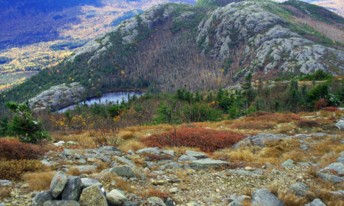
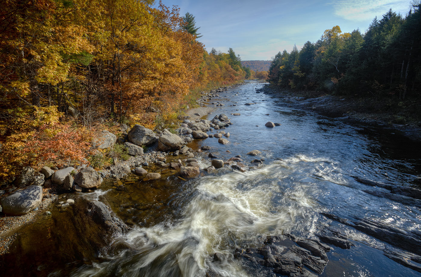
Location: Township 13, Range 12 WELS, Aroostook County Description: Round Pond is a 20,000-acre public reserved land unit that surrounds a portion of the Allagash Wilderness Waterway. Round Pond itself is in fact a wide section of the Allagash River, located just before the river heads toward the Saint John River. From the eastern shore Read More
Explore Maine Map locations
Salmon Brook Lake Bog Public Reserved Land
Location: Perham, Aroostook County Description: The Salmon Brook Lake Bog Public Reserved Land is a 1,857-acre unit, of which 1,053 acres are designated as an Ecological Reserve. It is located in an area where limestone bedrock has created relatively high pH soils. Such conditions support significant natural features including circumneutral fenspeatland vegetation dominated by sedges and/or shrubs Read More
Scraggly Lake Public Reserved Land
Location: Township 7 Range 8 WELS, northeast of Patten, Penobscot County Description: Scraggly Lake is located at the center of this 10,000-acre public reserved land unit, located just northeast of Baxter State Park. Scraggly Lake includes a campground and boat launch for visitors, and nearby Ireland Pond offers a more remote recreational experience. From Scraggly Read More
Scopan Public Reserved Land
Location: Township 11, Range 4, between Presque Isle and Ashland, Aroostook County Description: The Scopan unit contains some of the most rugged terrain in Aroostook County, including 1,400-foot high Scopan Mountain. From Scopan Mountain hikers can view Katahdin and Alder Lake, and can enjoy seasonal waterfalls. The 16,700-acre unit also contains wetlands that are frequented Read More
Seboeis Public Reserved Land
Location: Just south of Millinocket, Penobscot County Description: The vast Seboeis Public Reserved Land unit (15,628 acres) encompasses the majority of Seboeis Lake, all of Northwest Pond, the southwest shore of Endless Lake, and the entire shoreland of Turtle Pond. The area is very popular with anglers. Landlocked salmon, splake, white and yellow perch, small Read More
Seboomook Lake Public Reserved Land
Location: North of Rockwood, Piscataquis County Description: The Seboomook Lake lands are 41,436 acres in size and surround Canada Falls and Seboomook Lake. The lands offer remote recreation opportunities, including hunting, and fishing for wild brook trout and landlocked salmon. The lands mark the beginning of the Penobscot River Corridor and the South Branch of Read More
Telos Public Reserved Land
Location: Township 6, Range 11 WELS, northwest of Baxter State Park, Penobscot County Description: Telos is a 23,000-acre unit that surrounds Telos Lake and the southern end of Chamberlain Lake, a popular put-in for the Allagash Wilderness Waterway. The unit has several campsites on Coffelos Pond, which is also a popular sight for fisherman. Activities: Read More
Tumbledown Public Reserved Land
Location: West of Weld, in Franklin County Description: The Tumbledown Public Reserved Land unit is 10,000 acres of mountainous trails and several peaks with dramatic views of surrounding Franklin County. The trails vary in difficulty, but the popular Tumbledown Mountain Trail leads you to Tumbledown Pond, a scenic pond atop the mountain where hikers often Read More
Wassataquoik Public Reserved Land
Location: Near Staceyville, Penobscot County Description: The Wassataquoick Public Reserved Land unit contains miles of the Wassataquoik Stream and East Branch of the Penobscot, both of which offer outstanding native brook trout and salmon habitat. Paddlers enjoy the swift currents of the East Branch, and primitive campsites can be found on the shores of Wassataquoik Stream. The Read More


