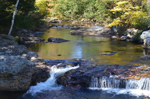
Funding from the Land for Maine’s Future program enabled Harpswell Heritage Land Trust (HHLT) to purchase 95 acres adjoining a town-owned recreational field and a previously protected 217-acre property. Long Reach consists of upland forests, the southern freshwater end of the largest, mostly salt, marsh in Harpswell, as well as fresh water wetlands and bogs. This Read More
Explore Maine Map locations
Lower Kennebec River Estuary
The Lower Kennebec River Estuary (including Merrymeeting Bay) is the largest tidal estuary on the Eastern Seaboard north of Chesapeake Bay. The lower reaches of this large embayment have extensive salt marsh, a rare habitat in Maine that offers valuable foraging, nesting, and wintering habitat for thousands of wading birds, shorebirds and migrating waterfowl. Boaters Read More
Machias River Project
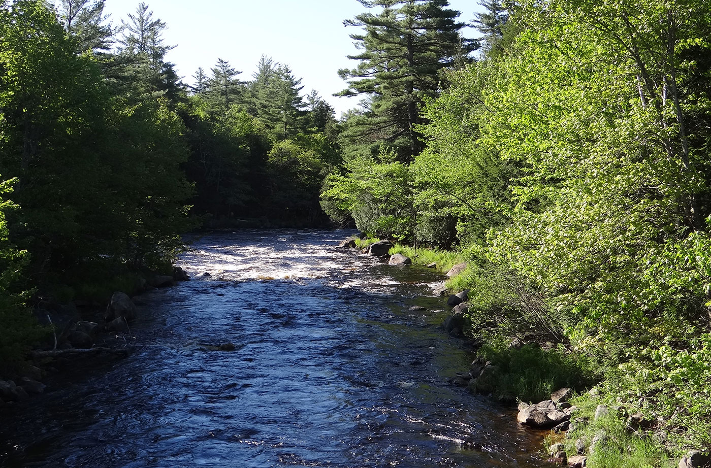
The Machias River ranks with the St. John, the Allagash, and the Penobscot as one of Maine’s most scenic and outstanding paddling rivers. Over the course of 76 miles, canoeists enjoy an array of water courses–from lakes and swamps to rapids and a waterfall. The river is rich in brook trout, bass, and pickerel, and each spring Read More
Marshall Island
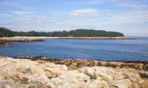
With generous support from the Land for Maine’s Future program and private donors, Maine Coast Heritage Trust (MCHT) acquired all of Marshall Island, which was the largest remaining undeveloped and unprotected island on the nation’s Eastern Seaboard. Marshall is located in Jericho Bay, between Mount Desert Island and Isle au Haut. With 981 acres of Read More
Mattawamkeag Lake
With funding support from the Land for Maine’s Future program, the Maine Bureau of Parks and Lands acquired an easement and two fee parcels protecting 3,026 acres around the southern end of Mattawamkeag Lake. The easement allows sustainable forestry while preventing future development and guaranteeing continued pedestrian access for fishing, swimming, and camping. The protected Read More
Mattawamkeag River
As part of a complex multi-property purchase, the Land for Maine’s Future program funded State acquisition of 4,119 acres of woodland, wetlands, and cedar swamp along the Mattawamkeag River east of Kingman and 1,204 acres along 4 miles of its tributary, Mattagodus Stream. The highly productive wetlands that characterize both properties offer outstanding habitat for Read More
Mill Pond Park
Like many island communities in Maine, Swans Island has experienced a steady loss in public shore access in recent years. New development and changes in ownership have closed off lands by which community members once reached the water. When an opportunity arose to secure a waterfront park site, town residents acted quickly to acquire the Read More
Moran’s Landing at Bear River Rips
Bear River Rips lies at the confluence of the Bear and Androscoggin rivers, tucked between mountains just north of Bethel. A popular site among anglers and canoeists, the Rips are easily accessed from a small parcel of land that borders both the Androscoggin and Route 2. Like many such traditional access points across private land, Read More
Morgan Meadow
Located within 20 miles of more than one-quarter million people, Morgan Meadow offers a remarkably wild setting–with nearly a thousand acres of unbroken woodland and a 100-acre freshwater wetland. The property provides a significant natural sanctuary in the midst of development spreading out from Greater Portland and Lewiston-Auburn. Morgan Meadow shelters old-growth white pine and Read More


