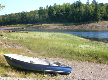
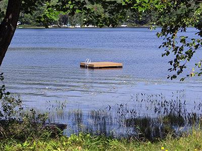
Public access to Tibbetts Pond, a 5-acre pond well-suited to brook trout, was threatened when the surrounding private land was listed for sale. By acquiring 9.5 acres with all the Pond’s shore frontage, the Maine Department of Inland Fisheries & Wildlife guaranteed access for bank fishing and canoeing on this small, readily accessible water body. Read More
Land for Maine's Future Places
The Land for Maine’s Future program has conserved special places throughout the state that have exceptional natural or recreational value and should be permanently protected. LMF has played a vital role in the acquisition of more than 490,000 acres from willing sellers. These lands include more than 1,000 miles of shorefront and 158 miles of rail-trails, and habitat important for wildlife for breeding, wintering, and migration. LMF-protected lands also include entire islands as well as working forests and farms. NRCM continues to help lead efforts supporting the Land for Maine’s Future program to protect public access to Maine’s most beautiful and significant natural areas.
Tidal Falls
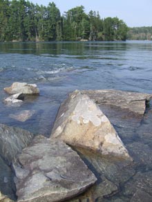
Eight miles east of Ellsworth, Route One crosses a river that divides Taunton and Frenchman Bays. This is the site of Tidal Falls (or Sullivan Falls), the region’s most dramatic reversing falls. Here, the fast-moving Taunton River attracts osprey, blue herons, Bald Eagles, and seals, as well as many human visitors drawn to the rush Read More
Tide Mill Farm
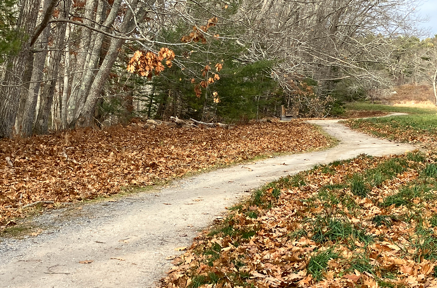
The easement held by the Maine Department of Inland Fisheries & Wildlife protects Tide Mill Farm’s significant ecological values and ensures that the public will have access to portions of the property that do not intrude on the farmstead. Hikers can enjoy more than 2.5 miles of trails up Bell’s and Crane Mountains, with outcrops Read More
Tinker Island
Tinker Island, a prominent 430-acre landmark in Blue Hill Bay, has long been a popular destination for picnicking, beachcombing, camping, and hunting. Area residents grew concerned when both halves of the island were placed on the open market for a combined price of $3.5 million. The southern half, which had an approved 10-lot subdivision in Read More
West Branch of the Penobscot River
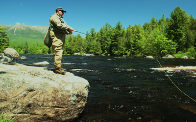
The productive forestlands that extend from Moosehead Lake to the headwaters of the St. John River lie at the heart of Maine’s North Woods. This region bordering the legendary West Branch of the Penobscot River is rich in history, folklore, and tradition, and remains a vital resource today – providing timber that fuels the regional Read More
Woodward Point Preserve
Woodward Point Preserve is located in Eastern Brunswick and is made up of soft sand, which becomes a walkable mudflat when the tide goes out. Recently, softshell clams have been showing up in the cove, to the surprise of many, as clam populations are down around the state due to the introduction of the invasive Read More
Worthley Pond
Worthley Pond, a 375-acre great pond 10 miles west of Livermore Falls, offers boating and angling opportunities in an attractive setting near Black Mountain. Recreational access to this pond is now guaranteed, through the state’s acquisition of a small boat access site. Grants from the Land for Maine’s Future Program and the U.S. Fish & Read More


