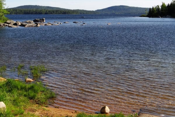
Tunk Lake Area, including Donnell Pond and Spring River Lake

Tunk Lake by Beth Comeau
Location: In and around Township 10 SD, 12 miles east of Ellsworth, Hancock County
Description: The Donnell Pond Public Reserved Land unit includes mountains, pristine lakes, and remote ponds all spread out over 14,000 acres in eastern Maine. There are sites for camping along the pond’s beaches, and great options for those who enjoy paddling. The land included in the unit has grown over the years to reach this expansive size with the help of different conservation groups and generous private landowners. The parcel includes 6,215 acres of the Tunk Lake Area, which are part of the state’s Ecological Reserve System, established to protect Maine’s biodiversity, among other purposes.
Activities: Camping, hiking, canoeing, fishing, boating, swimming, cross-country skiing, snowshoeing, and observing the wildlife. Visit Maine Trail Finder to find the Tunk Mountain Trail, Caribou Loop Trail, the Black Mountain Cliffs Loop, and more within the Donnell Pond Public Reserved Land unit.
For More Information: Visit Donnell Pond’s Maine Public Reserved Lands website, where you can find more information on the history of the unit, services, and facilities.
Closest Town
Franklin
Region
Downeast Maine – Hancock & Washington
Acres
8527
Directions from nearest town
DeLorme Maine Atlas and Gazetteer, Map 24 D/E-5; Map 25 D-1. The Reserve lies 12 miles east of Ellsworth. Turn onto Route 183 in East Sullivan and proceed for 4.5 miles, turning left onto a gravel road by the Public Lands sign (after the railroad tracks). For the trailhead to Schoodic Mountain, Black Mountain Cliffs and the trail to Schoodic Beach and campsites on Donnell Pond, turn left after .25 miles. Continue straight for the trailheads to Black and Caribou Mountains. Boat launches on Tunk Lake and Long Pond are accessible along Route 182 (6 and 4 miles west of Cherryfield). To reach the Donnell Pond boat launch, take the Donnell Pond Road off Route 182 (1.5 miles north of the intersection with Route 200).


