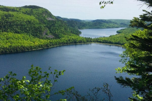
Deboullie Ecological Reserve. Photo by David Preston
Location: Township 15, Range 9 WELS, about 30 miles southwest of Fort Kent, Aroostook County
Description: Deboullie is the French word for “rock slide.” The 21,871-acre Deboullie Public Reserved Land unit is named for the rock slides found on the low, rugged mountains located on the southeastern corner quarter of the unit. Hikers enjoy exploring Deboullie Mountain’s historic fire tower and the area’s “ice caves”—narrow crevices in rocks found deep in the woods where ice remains throughout the year, if the weather is right. Togue Pond contains landlocked salmon and brook trout, and native brook trout can be found in many of the unit’s 17 ponds.
The Deboullie Public Reserved Lands incorporate a state Ecological Reserve, which is a 7,253-acre area that encompasses sensitive ecosystems, including old growth spruce and mature hardwoods. The reserve’s wetland habitats support the rare northern bog lemming, and upland forests host Canada lynx.
Activities: Fishing, hunting, camping, wildlife watching, and hiking. To explore hiking trails, visit the Deboullie Public Reserved Land Map at Maine Trail Finder.
For More Information: Visit the Maine Public Reserved Lands website, where you can find more information about the history of the unit as well as services and facilities available.


