In May 2024, photographer Joe Klementovich and three others embarked on a Source to Sea paddle on the Sandy River to experience the spawning grounds of endangered Atlantic salmon and other sea-run fish. The trip was organized by Rivers for Change and supported by the Natural Resources Council of Maine. Here, Joe gives us his perspective in words and imagery of the journey.
Not many people paddle this river because it follows the natural rhythm of the seasons. Spring run-off and high water attract kayakers to the Class III and gnarly Smalls Falls. Summer and into autumn sees a steady decline in water flow and more and more rocks and ledges showing along the length of the river, making it unfriendly and difficult for any canoe or kayak to navigate most sections.
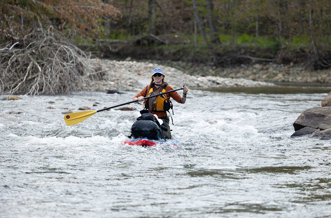
Photo by Joe Klementovich
Our small group on paddleboards, with a little planning and much luck, threaded the needle on near-perfect water flows in the middle of May. A little bit of rain kept the water flowing and helped keep us moving on the last day. Flow, moving water, and water temp, all factor into a successful paddle trip. It’s even more important to any fish migrating from the Atlantic Ocean up into spawning habitat. Way more important to them.
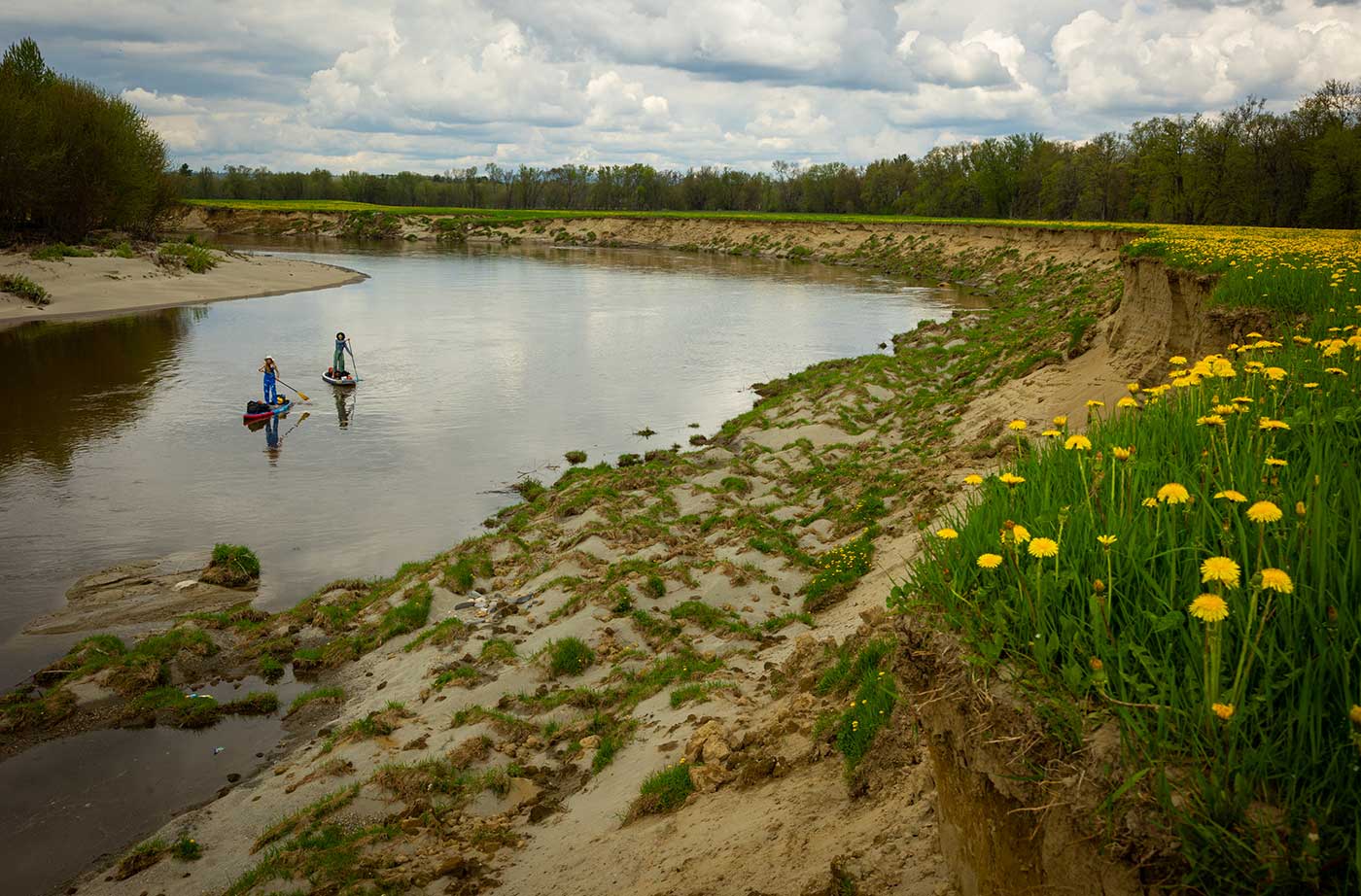
Photo by Joe Klementovich
The Sandy River is probably the most perfect Atlantic salmon spawning habitat in Maine, and it flows freely from the Sandy ponds down through Smalls Falls and all the way into the Kennebec River. The free flow stops soon after joining the Kennebec, four dams between Skowhegan and Waterville slow the flow of water for hydropower.
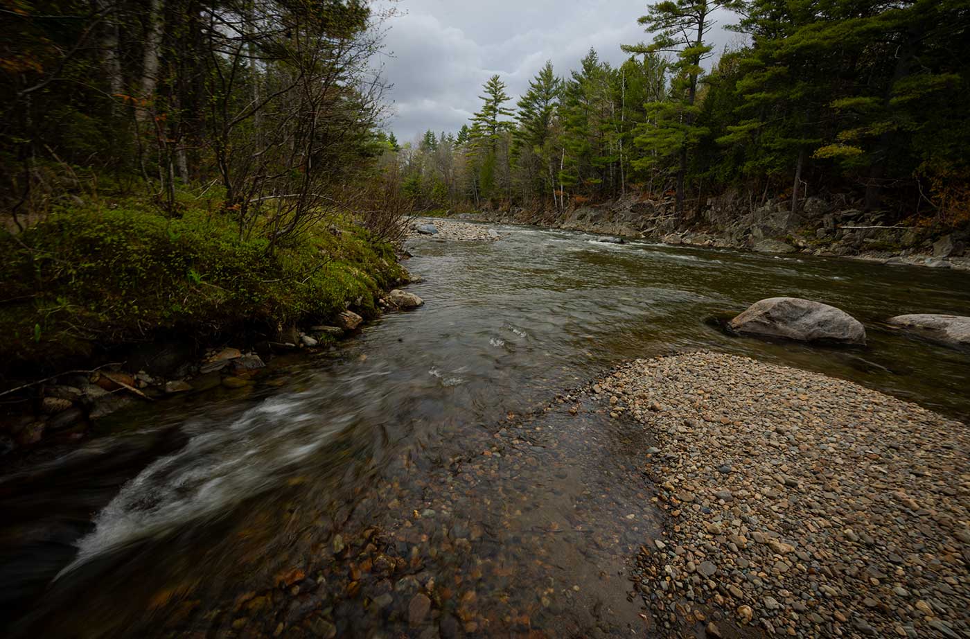
Photo by Joe Klementovich
Our paddle trip ended before the dam in Skowhegan, for salmon and other anadromous fish they have to push past these four dams to get back to the ocean each year. Then make the same difficult journey on the way back upstream in hopes of spawning and keeping the species alive. Not an easy task when trucks, fish ladders, and lots of luck are the only way to bypass these dams.
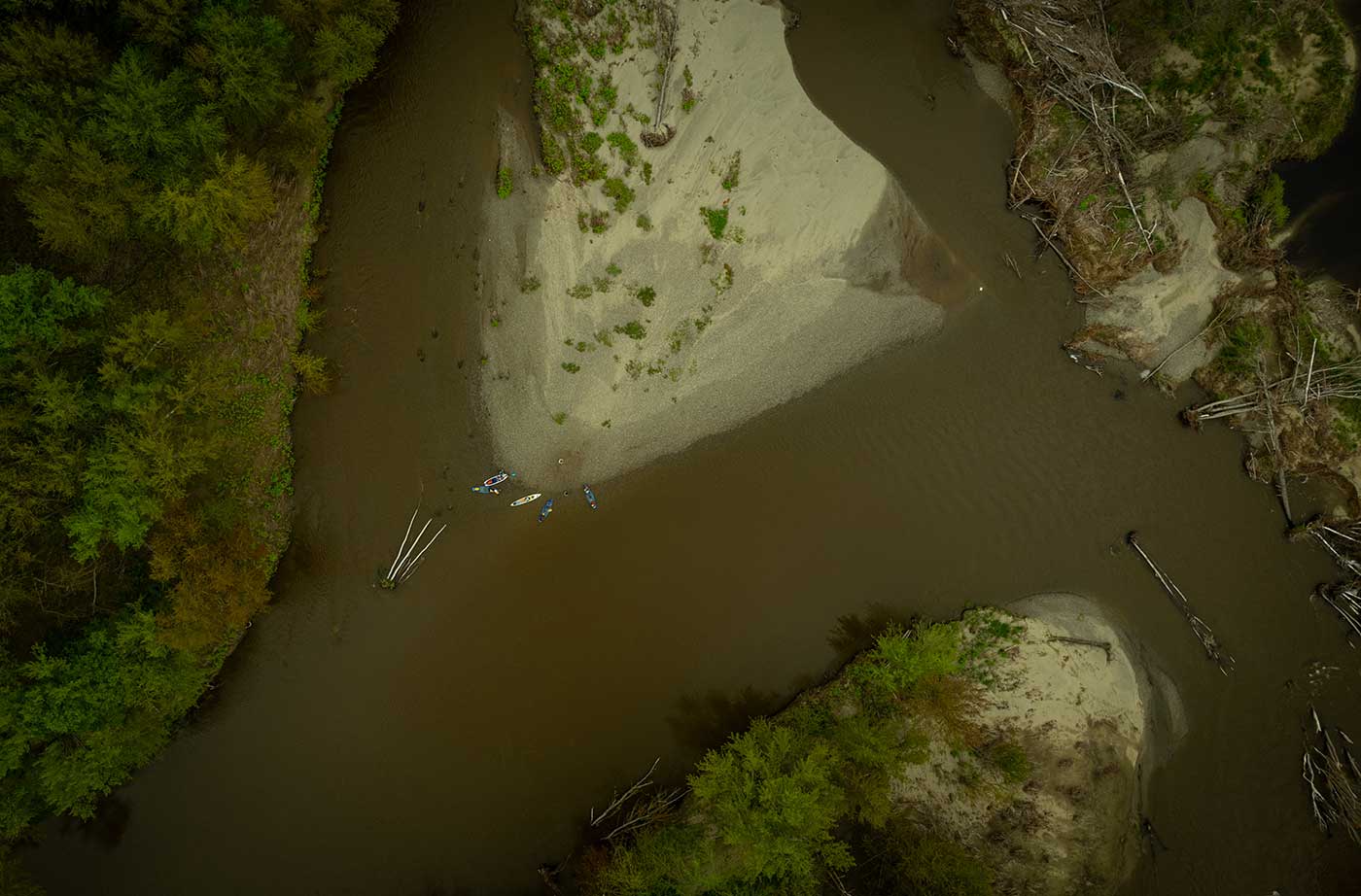
Photo by Joe Klementovich
After spending four days on the Sandy River we all came to the realization that it’s a very special place, and a big part of what makes it special and unique here in Maine is that it ebbs and flows with the whims of Mother Nature, floods, low water, cold springs, or hot summers and reacts, expands, and contracts like all the rivers used to before we started to dam them…
—Joe Klementovich





Did the group start on the South Sandy in Phillips/Madrid where salmon redds had been located last fall? Was the stream already altered (straightened apparently without proper authorization) by the Town of Phillips before the confluence with the main stem Sandy? I have not seen any updates since that alteration occurred. Is the NRCM following the story?
Hi Jeff. NRCM’s Regional Outreach Coordinator in Franklin County is aware of the story and is following it as information is made public. The Maine Department of Environmental Protection is investigating, and at this time there is no new information of which we are aware.