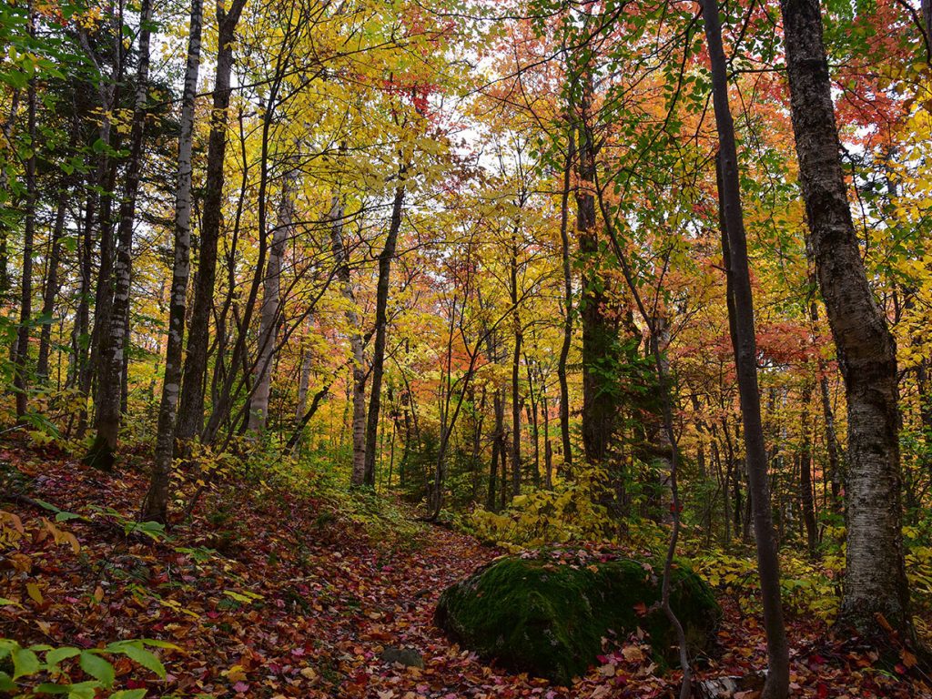
When I flip the calendar to September, I never quite know what the weather is going to serve up for the month, but I can definitely count on a magical event to take place. The sea of green leaves that make up Maine’s trees and forests morph into a cascading display of the most vibrant yellow, red, orange, and purple. The prediction of autumn colors is always a fun guessing game, but the answers tend to funnel down to a few important factors; day length, rainfall, sugar accumulation, and cool nights. Sunny and cool fall days, followed by cool but not freezing nights, tend to produce the most colorful display. So, in appreciation of the most wonderful time of year in Maine, I thought I’d highlight one of the many splendid parcels of Public Reserved Land located in northern Maine: Nahmakanta.

Nahmakanta in the fall, by Sarah Sindo
Located west of Millinocket, 43,000 acres of forests, mountain peaks, ridges, lakes, and ponds make up this unit of Public Reserved Land. Nahmakanta holds endless backcountry recreation opportunities and a chance to truly unplug in a natural setting. Of the 37 parcels of Public Reserved Land in Maine, Nahmakanta is one of 17 ecological reserves monitored by the Maine Natural Areas Program, and it is the largest. (Within its remote forest stands a 320 year old northern white cedar and a 397 year old red spruce; how fascinating!) These segments are unique places. Just over two decades ago, the Ecological Reserve system was created and serves three main purposes: to present a standard for environmental and biological change over time; protect wildlife habitat; and function as a site for education and research. Check out the Natural Resources Council of Maine’s Ecological Reserve page for more information on these special units of land.
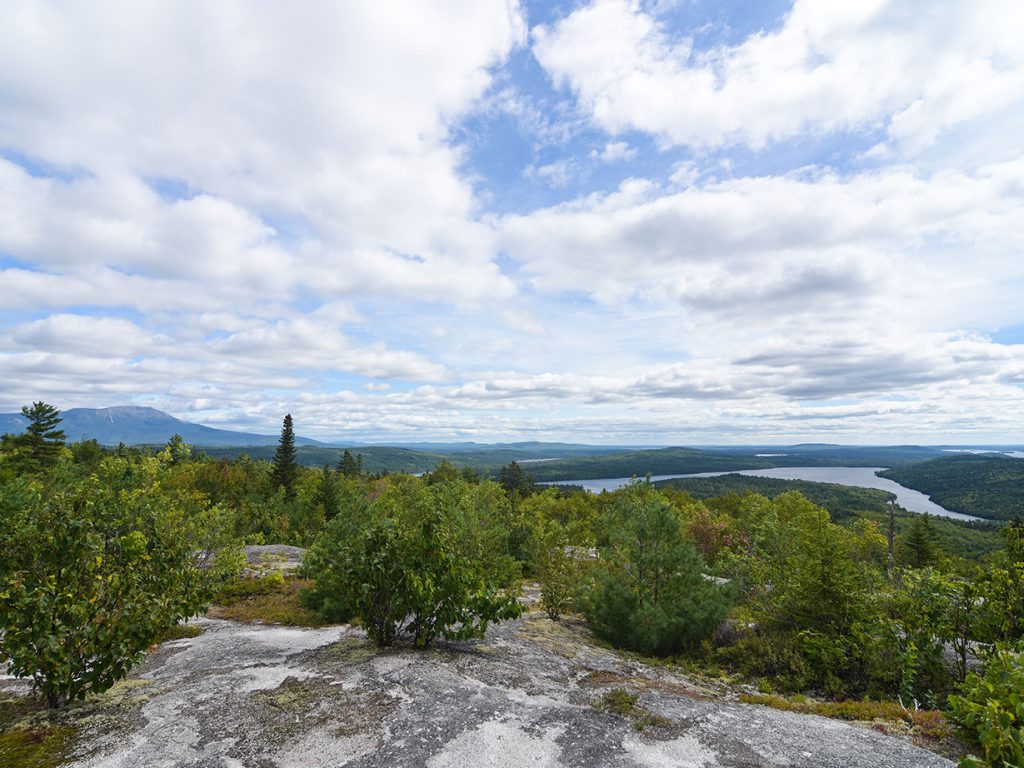
Upon turning off Route 11, located outside of Millinocket, you’ll hear the crunch of the dirt road beneath your tires as you are now on the Jo Mary Road. You’ll pay a fee at the Jo Mary Checkpoint gate, and a little ways after that, you’ll pass through a second (no fee) automatic gate. Once through, the open dirt road is yours to explore. A fan favorite of the area is Pollywog Gorge. The mile-long gorge with sheer cliff walls rising almost 200 feet is sure to leave you in awe. Also ranking high on the list, and suited for family adventurers, is the Turtle Ridge Loop Trail. With shorter and longer loop distances, the trail weaves through an assortment of forested landscapes, passes a series of beautiful remote ponds, and offers excellent viewpoints of the lush region. Maybe you’d rather see the area via water? Nahmakanta Lake is the main attraction, but don’t let the remote ponds like Fourth Debsconeag and Wadleigh Pond escape your itinerary. Don’t forget your fly rod!

Viewpoint on the Debsconeag Backcountry Trail by Sarah Sindo
A snippet of history to wrap things up. Prior to the days of logging, and even before the first white settlers, Native Americans inhabited land in the Katahdin region. The Native American influence is still visible even in the present day 21st century by way of place names in this area. It is said that Nahmakanta is Abnaki, meaning “where there are plenty of fish.”
This land is your land, Mainers, and I highly recommend taking a trip up north to Nahmakanta. You won’t be disappointed, and you’ll probably find yourself planning your next trip before the current one ends. Happy leaf peepin’.
—by Sarah Sindo, NRCM Rising Leadership Team member


One of my favorite places. We stay every year.