The Appalachian Trail (AT) in Maine passes through four Public Reserved Land units as it winds its way from the New Hampshire border to Katahdin, but very few hikers know this, even though the first step into the state by a thru-hiker is in the Mahoosuc Public Reserved Land Unit. The land around Grafton Notch State Park, extending from Goose Eye Mountain to Bald Pate and a little beyond, is one of the most gorgeous and rugged sections of the AT, and all within the Mahoosuc Unit. On the weekend of July 4th this year, I went out for a weekend backpacking trip on the Grafton Loop Trail (GLT), a nearly 40-mile backpacking loop that partially follows the AT in the Mahoosuc Range. This was my fourth time hiking the GLT, but I don’t think I’ll ever get tired of this trail.
 The GLT passes through two conservation easements in the southern end of the trail, and the Mahoosuc unit in the northern half. I started at the southern trailhead, which gets a lot of use from day hikers heading to Puzzle Mountain. Puzzle is a great day hike on its own, with rocky ledges and views to Mt Washington, Sunday River, and many Mahoosuc peaks. Instead of turning around and heading back to the car, though, I continued over the top and into a deeper wilderness. The trail, still on private land at this point, drops down to a pleasant little brook, then climbs again to Long Mountain along the edge of a recent logging cut. Then, after Long Mountain, the trail drops again to a valley and enters the Mahoosuc Public Reserved Land Unit.
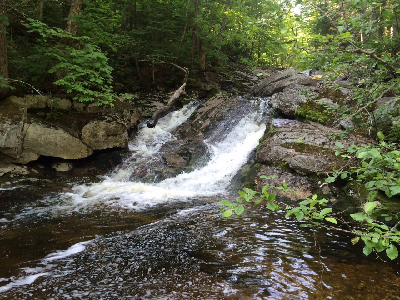
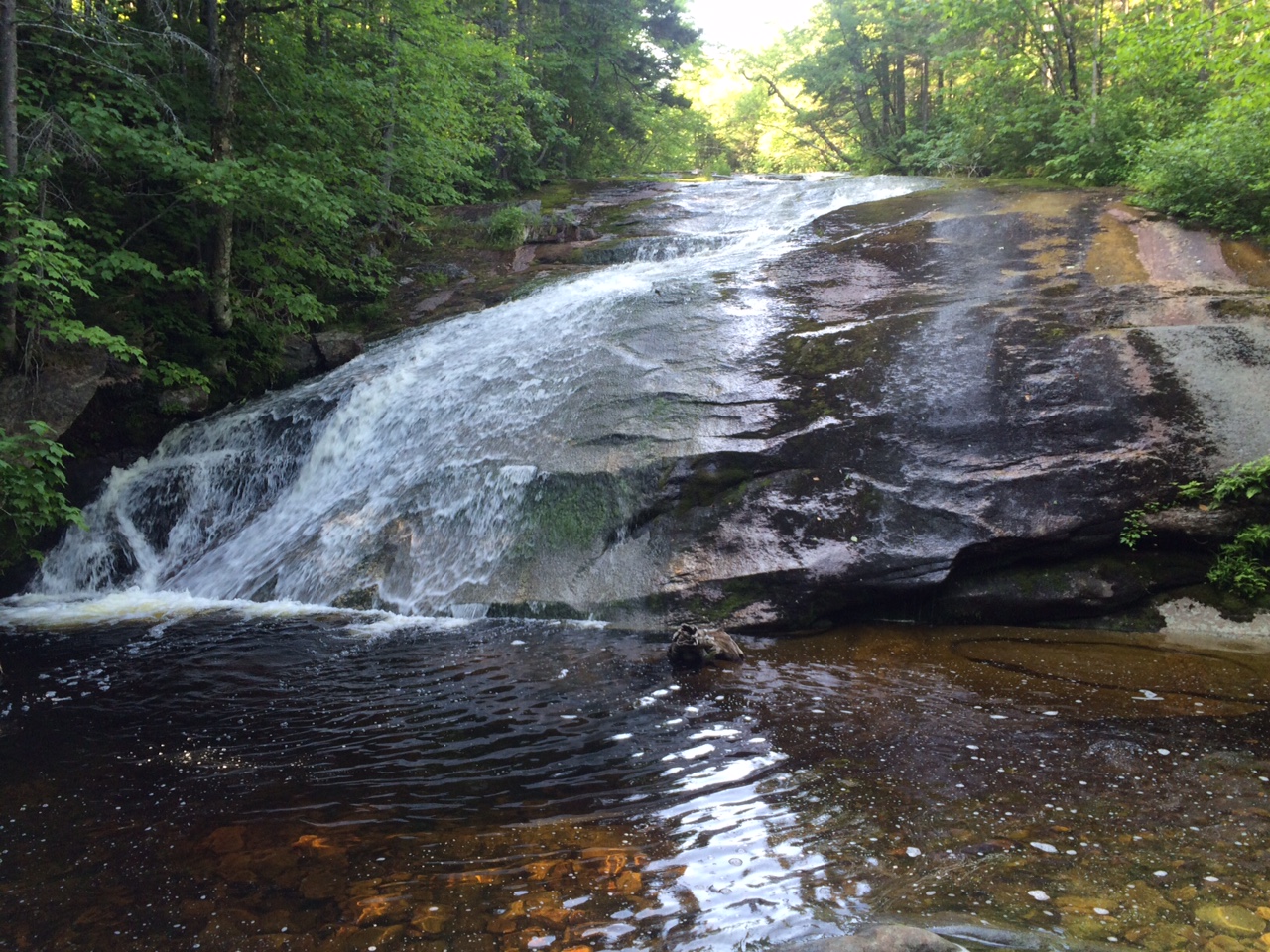
The trail follows Wight Brook for several miles, crossing Wight Brook and several tributaries on mossy boulders and jumbles of rocks. I never seem to be in the area on really hot days, but I’ve picked out a few spots along Wight Brook that look like they would make great swimming holes, with the icy mountain water crashing over waterfalls and swirling into dark pools. Regardless of the season, the beauty is captivating.
To finish the first day, I camped at Lane Campsite, one of several primitive campsites on the Public Reserved Land unit. The campsite, right next to Wight Brook, also sports a huge waterfall that is worth visiting even if you aren’t planning on camping.

Grafton Notch State Park
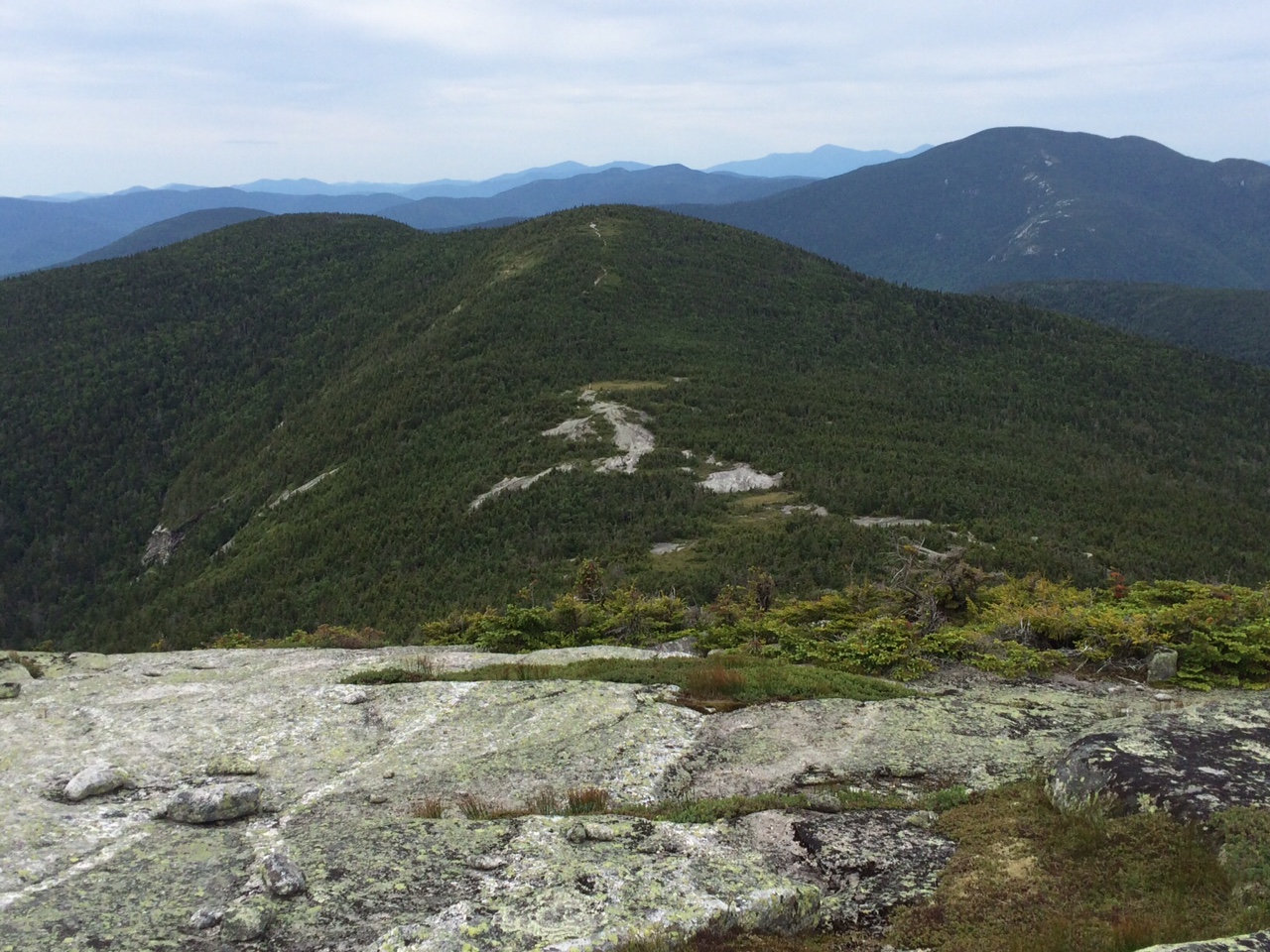
The next morning I climbed steeply up the south side of Baldpate Mountain, one of the highest peaks in Maine and certainly one of the most scenic. I love climbing out of the mixed hardwood forests of lower elevations and into the spruce and fir of the high peaks, where the forest floor becomes a mix of soft moss and springy, needle-covered soil. All of a sudden, the trail pops out of the trees and into the broad, stone summit of East Baldpate, and joins the Appalachian Trail. I started running into hikers, some coming from Georgia, others from Katahdin, most of whom had no idea what we were looking at in the distance. I pointed out most of the peaks that we could see, like Mt. Washington, Saddleback, Sugarloaf, and many more.
On the way down from Baldpate to Grafton Notch, at one point I noticed a recent logging cut that stopped about 50 feet short of the trail. It was a relatively small cut, and would have been quickly forgotten if it hadn’t reminded me that I must still be on the Public Reserved Land Unit—timber from small, sustainable logging activity on Public Reserved Land Units is what funds the agency that manages this land, makes minimal impact on the recreational use of the land.
 After getting to the road at Grafton Notch, I was only halfway through the loop, which went over yet more beautiful peaks and alongside more brooks, but I’ll let you discover the rest of the trail on your own. You can find more info about the hike online at www.mainetrailfinder.com/trails/trail/grafton-loop-trail, or in my iPhone app, New England Hiker.
by Ryan Linn, creator of Guthook’s Hiking Guides apps for iPhone & Android
Related Links:


Leave a Reply