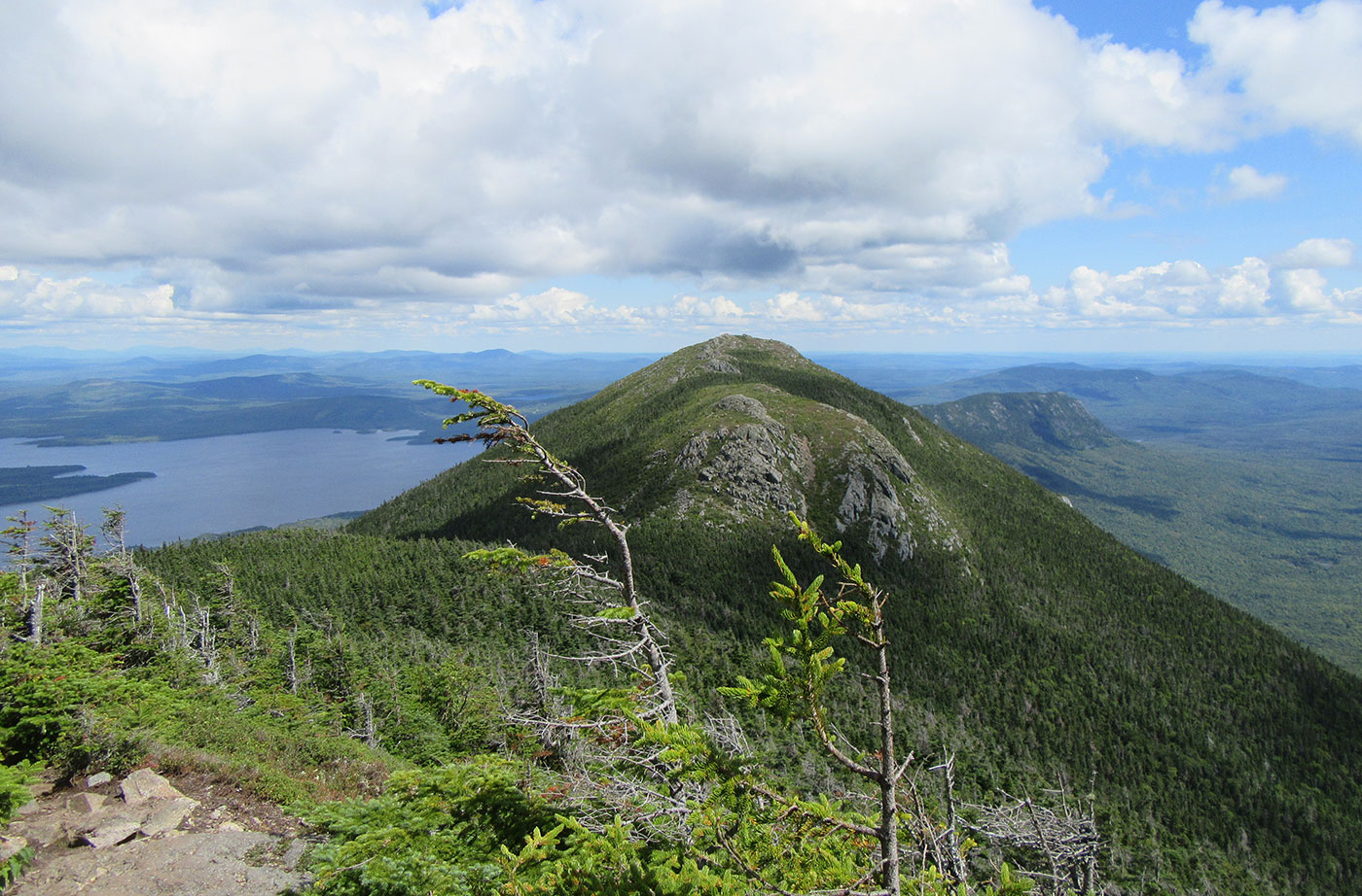
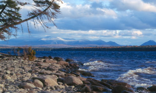
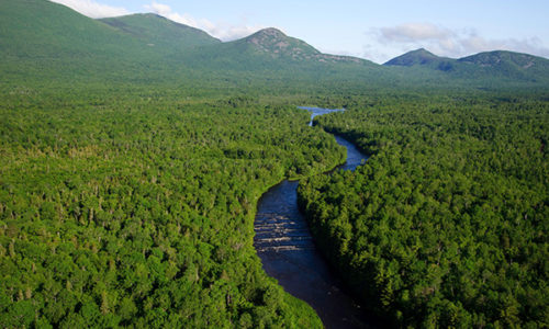
Location: Near Stratton, Franklin County Description: The Bigelow Preserve, the area of which totals 36,000 acres, is bounded on its north by Flagstaff Lake, a 20,000-acre lake, and includes all seven summits of the Bigelow Range, including 4,150-foot West Peak. The Appalachian Trail crosses through part of the Bigelow Preserve. Flagstaff Lake is also part of the Northern Read More
Summer Day Two, Part One: Allagash River
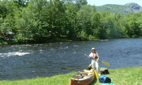
Day two dawned wet. We could no longer access the weather report without internet or phone, but there was no mistaking the dense, low-hanging clouds. Though Bob Johnson rarely has canoers, the other couple and us were ready to paddle the Allagash Wilderness Waterway by 8 in the morning. Johnson led all of us down Read More
Portland Becomes First City in Maine to Require Reporting on Large Buildings’ Energy Use
The council votes 6-3 to pass the ‘benchmarking’ measure, designed to collect baseline data that would be used to gauge trends and the effectiveness of efficiency upgrades. by Randy Billings, Staff Writer Portland Press Herald news story The Portland City Council voted 6-3 to become the first community in Maine to require large businesses and Read More
My Maine This Week: David Preston
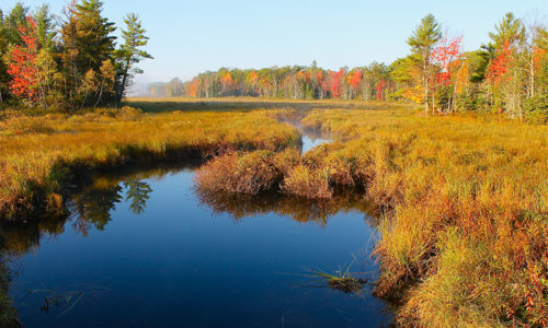
Many thanks to long-time NRCM member David Preston of South China, Maine, for these beautiful fall photos! To see past My Maine This Week photos, or to submit a photo of your own to be featured on our website, please visit www.nrcm.org/our-maine/my-maine-this-week.
Bradley Public Reserved Land
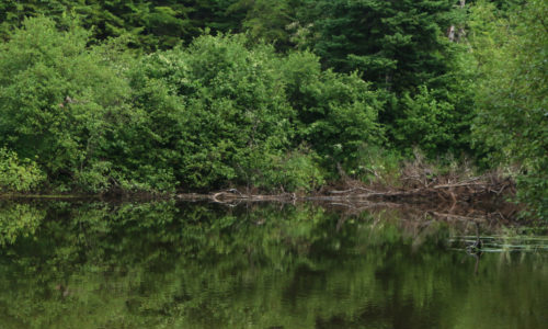
Location: Bradley, Penobscot County Description: The Bradley unit is comprised of four connecting lots totaling 9,277 acres and a separate 229-acre parcel known as the “Kittridge Farm” lot. The unit contains largely wetlands and peatlands, which are home to species of special concern: northern leopard frog, creeper mussel, and sedge wren. Recreational use of the Read More
Chain of Ponds Public Reserved Land
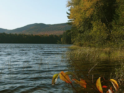
Location: Ten miles northeast of Eustis, Franklin County Description: The Chain of Ponds Public Reserved Land parcel is comprised of four ponds. Natanis, Bog, Long, and Lower ponds are all connected via channels, creating the “chain.” Visitors to the ponds have the opportunity to recreate on the ponds, including camping on the shores and observing Read More
Chamberlain Lake Public Reserved Land/Lock Dam
Location: In and around Township 7, Range 12 WELS, 30 miles northwest of Baxter State Park, Piscataquis County Description: Chamberlain Lake Public Reserved Land is a group of parcels along the large lakes that form the southern end of the Allagash Wilderness Waterway. The parcels include the 2,890-acre Chamberlain Lake Ecological Reserve. Ecological Reserves serve to protect Read More
Experiences on the National Monument Land
Many people have shared their experiences of visiting the Katahdin Woods and Waters National Monument lands with us. Some visited before the designation of the Monument on August 24, 2016, and many more have been there since. Below are some blog posts, videos, and more from people who have experienced this land first-hand. If you Read More
Economic Studies Related to National Parks
Katahdin Woods and Waters National Monument was established on August 24, 2016, in conjunction with the 100th anniversary of the National Park Service. Prior to the designation of Katahdin Woods and Waters, Elliotsville Plantation Inc. (EPI) commissioned studies to determine the likely economic benefits a national park and national recreation area would bring to Maine’s Read More


