And in the “Thanks, Obama!” column we are still celebrating the addition of 87,500 acres to the national park system in the form of the brand-new Katahdin Woods and Waters National Monument. I have been working at NRCM for the entire five years that we have been advocating for a national park and recreation area on the land donated by Elliotsville Plantation, Inc. and the Quimby family. The protection of this land—and providing some incredible economic opportunity to the struggling Katahdin region—feels like a huge win. And what a place. I’ve skied already in the northern section of this land and canoed on the East Branch, but until recently I hadn’t hiked very much there.
So one fine September Saturday, I joined some NRCM colleagues and 30 of our members for a hike up Barnard Mountain on the national monument. We met on the Katahdin Loop Road through the monument (see Mile 12 on the park map) and hit the trail around 11:30. We followed the International Appalachian Trail down a couple of logging roads and then into the woods for a somewhat gentle/moderate ascent of Barnard. The entire hike is four miles round trip and can be done in two to four hours. At the summit is a large granite overlook of Mount Katahdin and Katahdin Lake (and a picnic table!)

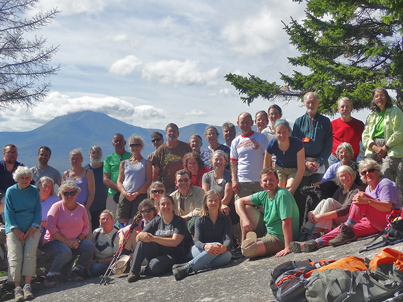
We had a spectacular view from the top of Barnard Mountain – here’s our wonderful group of hikers!
So get yourself up to the national monument and enjoy some fall colors from the summit of Barnard. It is an incredible place to see.

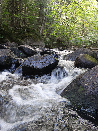
Katahdin Brook
After the hike, I drove south on the Loop Road and pulled into the main overlook of Katahdin. A couple from Millinocket pulled in and the driver yelled out of his open window what a great view it was. I stopped to talk with them for a while. Patrick was a former millworker who now ran a small wood-product business. He described himself as neither for nor against the monument and he was just there to see what it was like. But boy, he loved the view. Patrick looked over Mount Katahdin, Katahdin Lake, and Millinocket Lake—as well as tens of thousands of acres that will be forever protected—with great satisfaction. I hope it’s the first of many visits!
Hiking Barnard Mountain on the Katahdin Woods and Waters National Monument Lands:
-

NRCM’s Pete Didisheim got a closer look at some of what the Katahdin Woods and Waters National Monument has to offer!
Difficulty: easy/moderate. Four-mile round trip. Much of the trail is on a logging road, then it turns into the woods and contains many switchbacks (not especially strenuous) for eight-tenths of a mile. The trail is well marked. Chance of a heart attack spoiling your hike < 1%.
- Payoff: Spectacular! We had a clear day with a stunning view of the caldera of Katahdin. A puff of white clouds drifted in and parked itself atop Pamola Peak as we lunched on the summit of Barnard. To the south we could see Millinocket Lake, the 100 Mile Wilderness of the Appalachian Trail, and far into western Maine.
- Access: Visit https://www.nps.gov/kaww/planyourvisit/maps.htm to see the park map. Take the Medway or Sherman exit on I-95, then take Route 11 to Stacyville. From Route 11, the Swift Brook Road leads to the monument’s Katahdin Loop Road; take it in either direction to Mile 12. Parking is available at the trailhead. The Loop Road contains scenic overlooks of Katahdin, a short trail, and a campsite at Sandbank Stream. The Swift Brook and Loop roads are improved but unpaved logging roads. They should be passable in most cars, but use caution.
by Mathew Scease, NRCM Associate Director of Philanthropy


Leave a Reply